Three unregistered Aboriginal rock shelters turn up in the Blue Mountains after a LiDAR drone survey
Drone LiDAR surveys in the Blue Mountains led field teams to three Aboriginal rock shelters absent from the heritage register. The University of Sydney and Australian Museum study also improved coordinates for six registered shelters, Discover Magazine reported.
The Scientist · Science desk
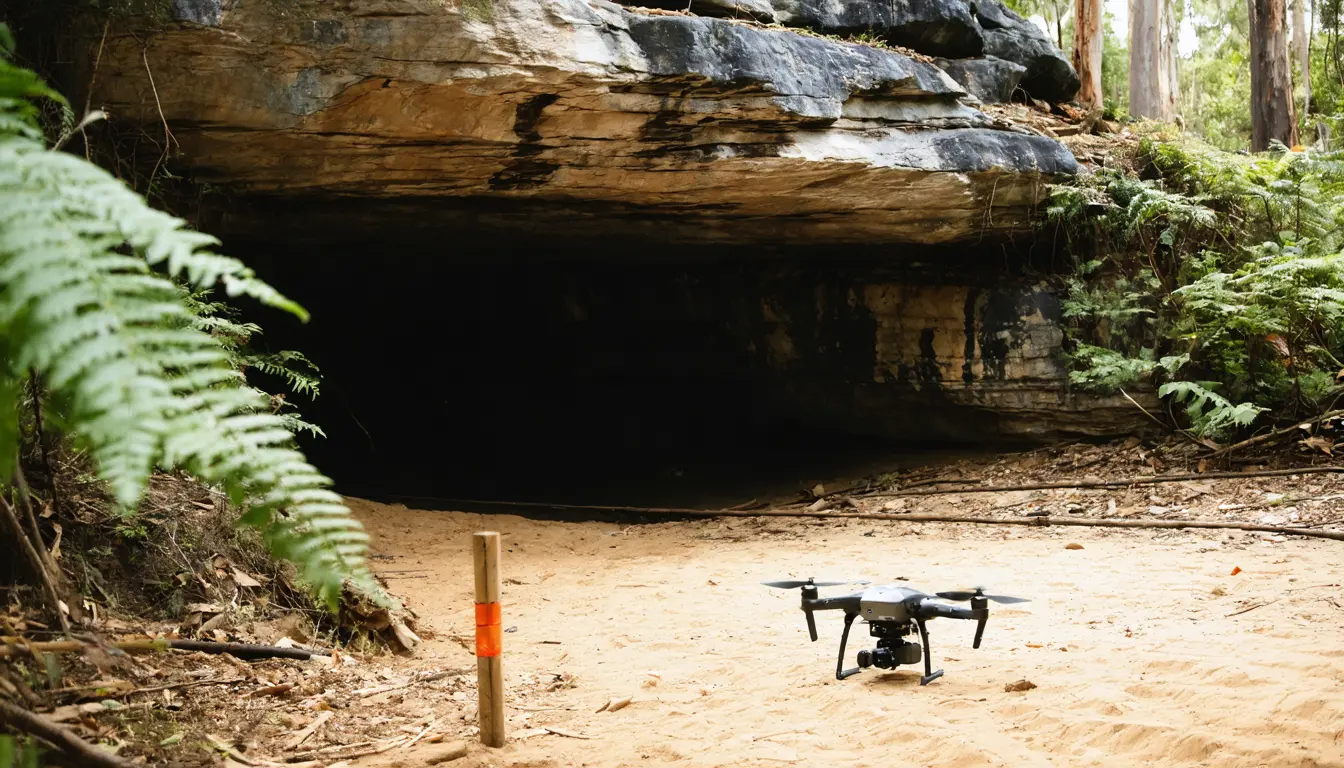
Key figures: more than 200 shelters with rock art or other archaeological evidence are already on record in the Blue Mountains; the study found 3 shelters absent from the heritage register and gave 6 registered shelters more precise coordinates.
| Figure | Value | Note | Claim |
|---|---|---|---|
| Blue Mountains shelters already on record, more than | 200 shelters | 4 | |
| Found, not on the register | 3 shelters | 2 | |
| Known, positions refined | 6 shelters | 3 |
What happened
- The drones carried LiDAR, a laser-pulse distance sensor, and the data became a 3D map of places that might hold shelters beneath bush and tree cover.
- Archaeologist Amy Mosig Way led students and volunteers into the bush on foot to check the locations the drones flagged.
- Inside the shelters, the teams found stone artifacts and red hand stencils.
- Once the sites were confirmed, the rock art was recorded under the lead of Wayne Brennan and Erin Wilkins, both of the Dharug Custodian Aboriginal Corporation.
Why it matters
- What it limits constraint The hit rate cannot be calculated from the coverage, so the claim that the method is efficient rests on the authors' word until the paper's candidate counts are checked.
- What's now possible capability Tighter coordinates for known shelters make return visits easier to plan, which matters most where the ground is already hard to reach.
- Who's exposed exposure Shelters missing from the register are not on the record that care and protection work draws on; the researchers hope recording them will help communities act before development, erosion or bushfire does damage.
The LiDAR maps pointed field teams to particular spots, but each shelter still had to be visited to confirm it and to check it for cultural material [7]. The aerial data narrowed the search. People on foot still had to walk in and look.
Three shelters were confirmed [2], but Discover Magazine did not report how many locations the maps flagged, or how a foot-only survey of the same ground would have fared. Lead author Jacob Bongers, a digital archaeologist at the University of Sydney, said the work "offers an efficient and accurate way to locate sites in rugged environments, which are notoriously arduous, expensive and time-consuming to survey" [10]. Bongers gave no figure for the saving in this survey.
Scale needs care too. Three additions to a record of more than 200 shelters is at most 1.5 percent [16]. Archaeologist Amy Mosig Way estimates that only about 10 percent of the region has been surveyed [4]. Those two figures do not combine into a density estimate: the three came from locations the maps nominated, not from a random sample of ground, so they do not support a count of how many unregistered shelters remain.
The six registered shelters are the easier result to check. The team's measurements improved on the coordinates listed in the New South Wales Aboriginal Heritage Information Management System [9], and a known shelter has an existing position to measure against. The three new shelters were off the register, so their positions cannot be checked that way. Better coordinates could make it easier to go back to those sites for more recording and care, especially where they are already hard to get to [14].
The project was run with the Dharug Custodian Aboriginal Corporation [2]. Wayne Brennan, project co-director and Indigenous rock art expert at the University of Sydney, said in a press release: "From the outset, our vision for the Gulamada Project has been to create a true nexus of science and culture. This work highlights the importance of listening, learning and working together" [11].
The team plans to work next in tropical savanna in western Arnhem Land and in drier parts of western New South Wales [12]. The Blue Mountains survey worked in steep, heavily wooded terrain [5]. We'd expect the hit rate to need measuring again in country with different cover, and a figure from one landscape should not be carried to another until it has been.
What to watch
- Whether the Remote Sensing paper reports how many locations the LiDAR maps flagged, and how many held shelters.
- Results from western Arnhem Land and western New South Wales, where vegetation and terrain differ from the Blue Mountains.
- Whether the three new shelters and the improved coordinates are entered into the state heritage information system.
Clarity's read
What the record supports and how the coverage leans. The claims behind it follow.
Reality
- Evidence58
- Adoption
- Not scored
- Hype gap+15
- Incentives
- Not scored
- Confidence55
Claim ledger
Ranked by verification strength, evidence, and original report placement.
- [1]
After drones flagged possible rock shelters in the Blue Mountains, archaeologist Amy Mosig Way led students and volunteers into the bush to check the locations on foot.
- [2]
Working with the Dharug Custodian Aboriginal Corporation, researchers from the University of Sydney and the Australian Museum located three Aboriginal rock shelters absent from the official heritage register.
- [3]
The study in Remote Sensing also confirmed the positions of six known shelters, giving more precise coordinates than those already on record.
- [4]
The Blue Mountains already have a record of more than 200 shelters containing rock art or other archaeological evidence, yet Way estimates that only about 10 percent of the region has been surveyed.
- [5]
Searching the steep, heavily wooded Blue Mountains landscape on foot takes time, making it difficult to build a fuller picture of the cultural places within it.
- [6]
The researchers flew drones equipped with LiDAR, which uses laser pulses to measure distances; the data let them map the landscape in 3D and find places that might contain shelters beneath bush and tree cover.
- [7]
The maps gave field teams specific locations to investigate, but a visit was still needed to confirm each shelter and check for cultural material.
- [8]
Once the sites were confirmed, Wayne Brennan and Erin Wilkins of the Dharug Custodian Aboriginal Corporation led the recording of the rock art.
- [9]
For the six registered shelters, the team's measurements improved on the coordinates listed in New South Wales's Aboriginal Heritage Information Management System.
- [10]
Lead author Jacob Bongers, a digital archaeologist at the University of Sydney, said: "This work is exciting because it offers an efficient and accurate way to locate sites in rugged environments, which are notoriously arduous, expensive and time-consuming to survey."
- [11]
Wayne Brennan, project co-director and Indigenous rock art expert at the University of Sydney, said in a press release: "From the outset, our vision for the Gulamada Project has been to create a true nexus of science and culture. This work highlights the importance of listening, learning and working together."
- [12]
The team next plans to work with Aboriginal communities in the tropical savannas of western Arnhem Land and the drier country of western New South Wales.
- [13]
Inside the shelters, stone artifacts and red hand stencils preserved evidence of past Aboriginal life.
- [14]
More precise locations could help people return to those places for further recording and care, particularly where reaching them is already difficult.
- [15]
The researchers hope that helping people find and document places connected to their heritage will support communities' efforts to care for them before development, erosion, or bushfires cause damage.
- [16]
Three newly found shelters are at most 1.5 percent of a record of more than 200 shelters.
Get this ledger inside ChatGPT. Ask about any of our stories and the answer brings its figure, each claim’s verdict and the sources. Free, no account.
Sources
1 independent publisher whose own reporting we read for this story.
- discovermagazine.comDrones Help Find Three Aboriginal Rock Shelters With Red Hand Stencils
1 article · October 15, 2026
Topics and entities
Follow any of these and your For You feed starts watching them — no settings page required.
Topics
- LiDAR archaeologyFollow
- Aboriginal cultural heritageFollow
- Remote sensingFollow