Science5 publishersWidely confirmed3 min readPublished Updated
Thunder as a free seismic source, read through fiber already in the ground
A Penn State-led team says it imaged the shallow subsurface using thunderquakes recorded on a 4 km campus telecom cable, with no seismic source and no sensor array deployed.
The Scientist · Science desk
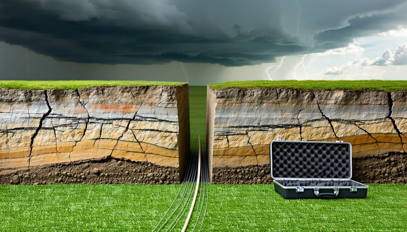
What happened
- A Penn State-led study published Aug. 21 in Science Advances reports that thunderstorm-generated seismic waves can serve as a source for seismic imaging.
- The instrument was a preexisting 2.5-mile telecom fiber under the University Park campus, read by laser and by phase shifts in backscattered light.
- Distributed acoustic sensing gave hundreds of samples per second every few metres along that cable.
- Corresponding author Tieyuan Zhu says it is the first successful seismic imaging done with thunderquakes.
- The team says the approach opens passive imaging in earthquake-poor regions such as the central and eastern United States.
Compiled by The ScientistSomething wrong?How this is made
Why it matters
- cost A shallow survey normally buys either field crews with active sources or a monitoring array plus patience for earthquakes; both budget lines shift to an interrogator and processing time.
- capability Ground that cannot be trenched or permitted for new sensors, in the Arctic or under city streets, becomes imageable on cable that is already lawfully in place.
- constraint Coverage is dictated by where somebody else dug and when weather cooperates, so the survey cannot be designed around the target the way an active shoot can.
- precedent It strengthens the case for non-earthquake sources in planetary seismology, where Roth notes quakes are poorly understood and a substitute source may be required.
Thunder is an uncooperative source. Nobody schedules the shot, and the energy enters the ground across a footprint that travels with the storm. Lead author Nolan Roth, who did the work as a Penn State doctoral student and is now a postdoc at Ohio State, put the reason the idea sat unused down to instruments rather than theory: without very high-resolution sensing, it is hard to piece together what happens when thunder hits the ground [11][12].
Sampling density is what changed. A 4 km cable channelised at, say, 4 metre spacing gives roughly a thousand independent sensing points [13], and at a few hundred samples per second each [4], that is on the order of 200,000 strain measurements a second off one buried telecom line [14]. Enough, in other words, to follow a single wavefront across the air-to-soil boundary instead of inferring it from a handful of surface seismometers. Tieyuan Zhu, the corresponding author, frames the result two ways: a proof of concept for thunderquake tomography, and a new way to observe how the atmosphere couples into the solid Earth [9][5].
The cost structure is where this bites. Conventional imaging means expensive equipment and people in the field, or a passive survey that waits on earthquakes and needs a robust monitoring array to catch them [6]. Thunderquakes take out both line items where the method applies: the storm costs nothing, and the receiver line was trenched by a telecom operator for unrelated reasons [2]. The targets Zhu lists are ordinary infrastructure and resource work, not exotica: sinkholes, landslides, groundwater and mining resources, volcanoes and magma pockets [7].
What the announcement leaves out is the part that decides whether anyone reuses this. The account reports no imaging depth, no resolution figure, no count of thunderquakes needed per tomogram, and no price for the interrogator that reads the fiber [8]. Depth may matter least: a campus cable buried a few feet down is a shallow instrument by construction [2], and shallow is where sinkholes and water tables are. Repeatability is the harder question. An earthquake source is rare but well located; a thunderclap is common and poorly located, so the number that governs survey time is how many storms it takes to match one usable regional event. As described, the work does not answer that [8].
There is also a quieter implication in the geometry. Tomography reconstructs the subsurface from waves recorded by sensors at the surface [10], and here the sensor layout is whatever a telecom crew put in the trench. That is why the researchers point at the Arctic and at tightly regulated urban ground [16]: places where the survey you could never get permitted has, in effect, already been installed.
What to watch
- A follow-up that quantifies storms per usable tomogram, the number that sets how long a thunderquake survey actually takes.
- Replication on a commercially owned, traffic-bearing fiber rather than a university campus cable, where access terms and strand availability are the real gate.
- Whether groundwater or karst hazard programs in the central and eastern US, the claimed sweet spot, commission any work on this basis.
Clarity's read
What the record supports and how the coverage leans. The claims behind it follow.
Reality
- Evidence62
- Adoption
- Insufficient
- Hype gap+25
- Incentives40
- Confidence58
Perspective Coverage
5 publishers- Builder
- Builder 41%
- Operator
- Operator 49%
- Investor
- Investor 10%
Claim ledger
Ranked by verification strength, evidence, and original report placement.
- [1]
A study led by Penn State researchers found that seismic waves produced by thunderstorms, called thunderquakes, can be used as a novel source for seismic imaging; the findings were published Aug. 21 in Science Advances.
- [2]
The researchers used existing fiber-optic telecommunications cables buried just a few feet below the ground under Penn State's University Park campus, applying distributed acoustic sensing (DAS).
- [3]
The team shot a laser beam down a preexisting 2.5-mile (4-kilometer) fiber-optic telecommunications cable buried beneath the University Park campus and recorded how the phase of the backscattered light shifted because of tiny strains along the fiber caused by seismic waves.
- [4]
With DAS the team recorded hundreds of samples every second and every few meters along the cable, allowing high-resolution observation of the transition from atmospheric acoustic source to seismic signal.
ReportedSupportedSource: Nolan Roth, lead author4 sources— create a free account to open themView cited source - [5]
Zhu said thunder generates atmospheric acoustic waves that couple into the ground, producing seismic signals.
ReportedSupportedSource: Tieyuan Zhu, Penn State3 sources— create a free account to open themView cited source - [6]
Seismic imaging is traditionally done with expensive tools that require human deployment, or with passive surveys that rely on seismic sources such as earthquakes; those passive methods generally require a robust monitoring array.
- [7]
Zhu said seismic imaging can be used to evaluate geohazards such as sinkholes or landslides, assess groundwater and mining resources, and study volcanoes and magma pockets.
ReportedSupportedSource: Tieyuan Zhu, Penn State3 sources— create a free account to open themView cited source - [8]
The phys.org account of the study reports no imaging depth, no resolution figure, no number of thunderquakes required per tomographic image, and no cost for the DAS interrogation equipment.
- [9]
Zhu said the team demonstrated the first successful seismic imaging using thunderquakes, calling it a proof of concept for using thunderquakes as seismic sources for tomography and saying DAS provided a new way to observe the interaction between atmosphere and solid Earth.
ReportedSupportedSource: Tieyuan Zhu, associate professor of geosciences at Penn State and corresponding author2 sources— create a free account to open themView cited source - [10]
Seismic tomography produces an image of the subsurface from waves recorded by sensors at the surface; in this study the waves used for imaging were acoustic waves produced by thunder rather than by earthquakes or active seismic equipment.
- [11]
Roth said people have tried to use thunder for seismic imaging before but it has been difficult because the process is so complex, and that without incredibly high-resolution sensing it is difficult to piece together what is going on when the thunder hits the ground.
- [12]
Lead author Nolan Roth conducted the research as part of his doctoral studies at Penn State and is now a postdoctoral researcher at The Ohio State University.
- [13]
A 4-kilometer fiber channelised at 4-metre spacing yields about 1,000 independent sensing channels.
- [14]
About 1,000 channels sampled at a few hundred samples per second implies on the order of 200,000 strain measurements per second from a single cable.
- [15]
The thunderquake method allows passive imaging in places with fewer earthquakes, such as the central and eastern United States.
- [16]
The researchers said using existing fiber-optic cables also allows easier imaging in less accessible locations, such as the Arctic or highly regulated urban areas, with minimal disruption to the environment and infrastructure.
- [17]
Roth said quakes on other planets and moons are not well understood, so having a different source for seismic imaging might be necessary as exploration continues off Earth.
ReportedInsufficientSource: Nolan Roth3 sources— create a free account to open themView cited source
Sources
5 independent publishers whose own reporting we read for this story.
- discovermagazine.comThunderquakes Could Help Scientists See Beneath Earth's Surface
1 article · August 24, 2026
- nature.comEarth-shaking thunder probes underground geology
1 article · August 20, 2026
- phys.orgThunderquakes enable seismic imaging of Earth's shallow subsurface
1 article · August 21, 2026
- sciencenews.org‘Thunderquakes’ do more than shake the ground — they map it
1 article · August 21, 2026
- scientificamerican.comHow “thunderquakes” could help reveal hidden structures inside the Earth
1 article · August 23, 2026
Topics and entities
Follow any of these and your For You feed starts watching them — no settings page required.
Entities
- Penn StateFollow
- The Ohio State UniversityFollow
- Science AdvancesFollow
- Tieyuan ZhuFollow
- Nolan RothFollow