Product2 publishersIndependently confirmed2 min readPublished
Penn State imaged 100 meters of subsurface using lightning and buried telecom fiber
The energy source is free and recurring, according to the team. The 458 events took two years to accumulate, and the cable was laid for the job.
The Product Desk
What happened
- Penn State researchers buried telecom cable under their campus and wired it into the acoustic sensing used in seismology.
- The array recovered the tiny ground changes caused by 458 thunderquakes over two years.
- That dataset produced detailed images of the geology beneath the campus to around 100 meters, or 328 feet, of depth.
- Ars Technica reports the team's contribution is a model that makes sense of lightning's tangled shock-wave signal, then reconstructs the terrain from it.
- Zhu says the method adds a recurring information source rather than replacing conventional surveys, mainly where quakes are rare or surveys costly.
Compiled by The Product DeskSomething wrong?How this is made
Why it matters
- capability Shallow imaging becomes something you wait for instead of something you shoot: Ars frames the prior menu as natural earthquakes or deliberately set explosives, and this sits between them.
- cost Zhu calls the energy renewable and essentially free, which moves the bill to owning instrumented cable and keeping it in the ground and interrogated across storm seasons.
- constraint At the observed rate the record accretes at roughly one event every day and a half, so this fits standing monitoring rather than a site survey with a delivery date.
- contradiction The dead-plant-becomes-sensor read runs ahead of the evidence: the fiber here was buried for the experiment, and only earlier work established that ordinary telecom fiber hears thunderquakes at all.
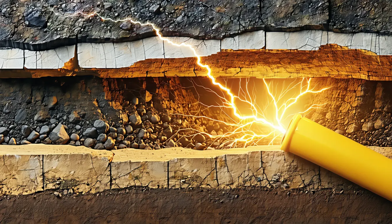
Begin with why this was hard. Lightning does not hand the ground a clean impulse: it forms superheated plasma bubbles along its path, compared in Ars Technica's account to a string of beads, each bead able to launch its own acoustic shock wave along a path that is anything but straight, with the waves free to interfere as they expand [18]. The result is a seismic signal complex enough that extracting anything clear from it has been the obstacle [17]. That is why the model matters more than the cable does.
The information itself is carried in speed. Seismic waves travel at different rates depending on whether rock is solid or semi-molten, how much water it holds, whether it is fractured [3], and with enough events you can assemble what sits at different depths [4]. Zhu's argument for thunder specifically is frequency: the energy is high-frequency, which suits the uppermost part of the Earth's surface, and it is far too weak for anyone to feel [10].
That last point is where the depth number earns attention. Seismology has organised itself around sources inside the solid Earth, earthquakes shaking structures tens of miles down [13]. The images here stop at roughly 100 meters, or 328 feet [1], which is more than 300 times shallower than that [21]. It is the band conventional practice reaches past, and it is the band that anything built on the ground actually sits in.
The team did not take the fiber's word for it. Separate geological and geophysical data were collected for comparison against the thunderquake readings [9], which is the part that distinguishes an imaging claim from a detection claim.
The paper also reaches well past campus, suggesting the method could probe subsurfaces on other planets and moons, with Titan named because it is known to experience thunder [15]. Treat that as a note on generality rather than a plan.
What is left, for anyone with cable in the ground, is a narrower and more durable proposition than free imaging. Distributed acoustic sensing turns one strand into what Zhu describes as thousands of closely spaced seismic sensors [8], and the array's value comes from staying put and staying interrogated while weather arrives on its own schedule. The asset is not the storm. It is a permanent line that gets a little better at describing its surroundings every time the sky cooperates.
What to watch
- Results from a second site: Zhu says other locations and geological environments are next, and that storm and site differences may change both image quality and achievable depth.
- A run on fiber someone else laid and still uses for traffic, which is the step that would turn a buried research array into an argument about existing telecom plant.
- Whether the complexity model survives different lightning geometry, since the beaded shock-wave source is exactly what made these signals hard to read.
Clarity's read
What the record supports and how the coverage leans. The claims behind it follow.
Reality
- Evidence64
- Adoption12
- Hype gap+14
- Incentives48
- Confidence68
Claim ledger
Ranked by verification strength, evidence, and original report placement.
- [1]
The team used the dataset to create detailed images of the geological structures below Penn State, up to around 100 meters (328 feet) underground.
- [2]
Zhu says thunderstorm seismic energy has largely been ignored and can become a renewable and essentially free source for probing the ground.
- [3]
Seismic waves travel at different speeds depending on the details of the rock they move through, including whether it is solid or semi-molten, how much water is present, and whether it is fractured or solid material.
- [4]
With enough data from enough seismic events, you can start piecing together a picture of what is present at different depths below the surface.
- [5]
Researchers at Pennsylvania State University buried telecom cables under their campus and connected the network to the kinds of acoustic sensors used in seismology.
- [6]
The sensors recovered information on the tiny changes caused by 458 thunderquakes over two years.
- [8]
Distributed acoustic sensing sends laser pulses through optical fibers and measures how changes in ground motion affect the fiber, which co-author Tieyuan Zhu says allows a single cable to act like thousands of closely spaced seismic sensors.
- [9]
To ensure reliability, the team separately collected geological and geophysical data to compare readings with the thunderquake data.
- [10]
Zhu says thunderquakes are far too weak to cause damage and people generally cannot feel them, but their high-frequency energy makes them ideal candidates for studying the uppermost part of the Earth's surface.
- [11]
Zhu told Gizmodo that thunderquakes will not replace conventional seismic surveys but offer an additional, naturally recurring source of information, especially where earthquakes are infrequent or conventional surveys are difficult or expensive.
- [12]
The team had found earlier that normal telecommunications fibers were sensitive enough to pick up thunderquakes.
- [13]
According to the paper, seismology has tended to focus on sources within the solid Earth, like earthquakes that shake geological structures tens of miles below the surface.
- [14]
Zhu says the team's next step is to test the same method in other locations and geological environments, since differences in the storm or the environment could influence the quality and depth of the final image.
- [15]
The paper notes the same method could feasibly help explore subsurfaces on other planets and moons; Saturn's Titan, for example, is known to experience thunder.
- [16]
Ars Technica describes existing practice as either waiting for naturally occurring earthquakes or intentionally creating waves with things like explosives, and says the Penn State team suggests thunderstorms sit between those two options.
- [17]
For a variety of physical reasons the seismic signals from thunderquakes are extremely complex, making it difficult to extract clear signals.
- [18]
Lightning creates thunder by forming superheated bubbles of plasma along its path, a structure compared to a string of beads; each bead can generate an acoustic shock wave, producing a chain of expanding shock waves tracing a path that is anything but straight, and the waves can interfere with each other.
- [19]
The Penn State team says it has constructed a model that can help make sense of the signal complexity, and used it to reconstruct the terrain under the local campus.
- [20]
458 thunderquakes over two years averages about 229 events a year, or roughly one event every 1.6 days.
- [21]
The 100 meter imaging depth is more than 300 times shallower than the 'tens of miles' depth attributed to earthquake sources.
Sources
2 independent publishers whose own reporting we read for this story.
- arstechnica.comResearchers use "thunderquakes" to study structure of Earth's surface
1 article · August 21, 2026
- gizmodo.comScientists Planted Telecom Cables to Find ‘Thunderquakes.’ Here’s What Happened
1 article · August 21, 2026
Topics and entities
Follow any of these and your For You feed starts watching them — no settings page required.