ScienceNot yet confirmed elsewhere1 publisher2 min readPublished
Sentinel-3C is measuring ocean height and Greenland ice elevation, with five months of commissioning to go
ESA's Sentinel-3C satellite has begun measuring ocean heights and Greenland ice-sheet elevation two weeks after reaching orbit. The agency still expects another five months of testing and commissioning before full operation.
The Scientist · Science desk
What happened
- One image, captured on September 30 by the ocean and land color instrument, spans southern Germany, the Italian peninsula, Sicily and the southern Mediterranean.
- A second image from the same date shows the Canadian Arctic Archipelago.
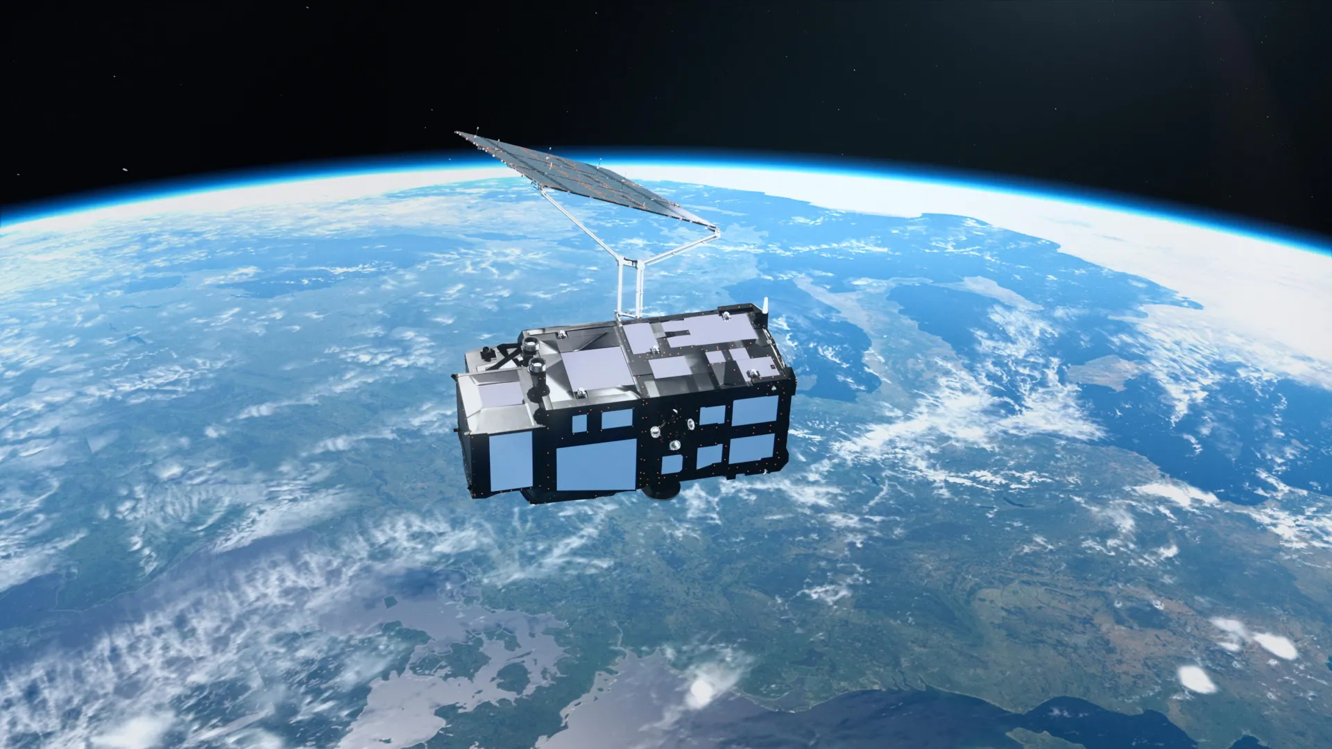
- Sentinel-3C is the third spacecraft in the Sentinel-3 series, and the satellites carry matching sets of instruments.
Why it matters
- constraint Until commissioning ends, the sea-height and ice-elevation output is pre-operational, and users who need validated numbers have to wait for it.
- constraint The evidence covers one satellite and two instruments, so a verdict on the whole Copernicus fleet needs data from the other spacecraft in the series.
- capability Once in service, the third spacecraft adds another platform for sea surface temperature, color, height and sea ice thickness, plus river and lake levels and polar ice-sheet elevation.
The Italy image shows how the release handles uncertainty when it has a reason to. The lighter blue bands along Italy's eastern coast are, according to ESA, believed by scientists to be likely sediment carried into the sea by rivers and redistributed by coastal currents [8].
The two measurement claims get no such treatment. ESA says the satellite's instruments have begun measuring ocean heights and the elevation of Greenland's ice sheet, and calls this an early demonstration of technology designed to monitor Earth's changing climate [2]. The release does not include an error estimate or a comparison with reference measurements. The judgement that both instruments are performing well in initial tests is ESA's own, about its own satellite [3].
ESA describes a testing and commissioning process that it expects to take another five months [4]. On that timetable, the early result is that the sensors return data. Returning data is a lower bar than returning data good enough to extend a climate record. A first-light image or a first altitude reading cannot show that an instrument stays comparable over years.
In our view the next check comes after commissioning. Sentinel-3 satellites carry matching sets of instruments [5], so Sentinel-3C's sea heights and Greenland elevations can be set against what the earlier spacecraft in the series measure. If they agree, the third satellite extends the series. We'd expect that comparison, more than any image, to be the evidence on whether the fleet is on track.
What to watch
- ESA's announcement that Sentinel-3C has finished commissioning and entered full operation, expected after about five more months.
- Any published comparison of Sentinel-3C's sea heights and Greenland elevations with reference measurements or the earlier Sentinel-3 satellites.
- First results from the satellite's remaining instruments, beyond the two featured so far.
Clarity's read
What the record supports and how the coverage leans. The claims behind it follow.
Reality
- Evidence35
- Adoption
- Insufficient
- Hype gap+20
- Incentives60
- Confidence50
Claim ledger
Ranked by verification strength, evidence, and original report placement.
- [1]
Just two weeks after reaching orbit, Europe's Copernicus Sentinel-3C satellite delivered its first images of Earth.
ReportedSupportedSource: European Space Agency (ESA), via ScienceDaily, October 12, 2026View cited source - [2]
Sentinel-3C's instruments have begun measuring ocean heights and the elevation of Greenland's ice sheet, providing an early demonstration of technology designed to monitor Earth's changing climate.
- [3]
The first images and measurements come from two of Sentinel-3C's key instruments, and both are performing well in initial tests.
- [4]
ESA is still preparing Sentinel-3C for full operation through a detailed testing and commissioning process expected to take another five months.
- [5]
Sentinel-3C is the third spacecraft in the Sentinel-3 series, part of the Copernicus Earth observation program, and the satellites carry matching sets of instruments.
- [6]
Over the oceans, Sentinel-3 measures sea surface temperature, color and height, along with sea ice thickness.
- [7]
An image captured on September 30 by Sentinel-3C's ocean and land color instrument extends from southern Germany across the Italian peninsula to Sicily and the southern Mediterranean.
- [8]
Along Italy's eastern coast, bands of lighter blue water stand out against deeper blue offshore; scientists believe the color differences are likely caused by sediment carried into the sea by rivers and redistributed by coastal currents.
- [9]
Another Sentinel-3C image captured on September 30 shows the Canadian Arctic Archipelago.
- [10]
On land, the Sentinel-3 mission measures water levels in rivers and lakes and changes in the elevation of polar ice sheets.
Sources
1 independent publisher whose own reporting we read for this story.
- sciencedaily.comEurope's new Sentinel-3C satellite just sent back spectacular images of Earth
1 article · October 12, 2026
Topics and entities
Follow any of these and your For You feed starts watching them — no settings page required.
Topics
- Space missionsFollow
- Earth observation and satellite monitoringFollow
- Climate monitoringFollow
Entities
- Sentinel-3CFollow
- European Space AgencyFollow
- CopernicusFollow
- ScienceDailyFollow