Jili Lake swelled 20 meters in the dry centuries when Silk Road trade peaked
Sediment cores from Jili Lake in Xinjiang show the lake rose about 20 meters in 250 years of dry climate, during the centuries of peak Silk Road trade. The cores measure water, and the step to busier oasis markets is the team's interpretation.
The Scientist · Science desk
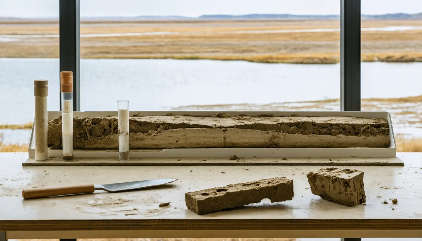
Key figures: at its peak around 850 CE, Jili Lake's area had expanded by about 80%. In the cooler, wetter periods of 350-500 and 1200-1550 CE, lake levels were about 5 meters below current conditions. Chen says the lake rose by approximately 20 meters in about 250 years.
| Figure | Value | Note | Claim |
|---|---|---|---|
| Lake area expansion at peak, around 850 CE, about | 80% | 5 | |
| Lake level in cooler, wetter periods, about | 5 m below current | 350–500 and 1200–1550 CE | 6 |
| Time the lake took to rise, per Chen, about | 250 years | rise of approximately 20 meters | 7 |
What happened
- A team led by Ruijin Chen cored Jili Lake in Xinjiang in 2018, then returned in 2023 with modern samples to calibrate how biomarkers track water depth.
- At the lake's peak, around 850 CE, its surface area had expanded by about 80%.
- In the cooler, wetter windows of 350-500 and 1200-1550 CE, the lake fell to about 5 meters below its current level.
- The team concluded that snow and glacier meltwater from the Altai, Tian Shan and Kunlun mountains, not rain and humidity, set the basin's water supply.
Why it matters
- What it limits constraint At Jili the wetter centuries were the low-water ones, so a risk screen for a melt-fed basin that scores rainfall alone would have read the lake backwards.
- Who's exposed exposure The gain in the warm centuries came from snow and glacier melt, a supply that depends on ice remaining; the work as reported does not show what happens to a basin once the ice is gone.
- What it sets up precedent Drought on the Panama Canal and low water on the Rhine show warming taking water from a route, while Jili shows a warm spell adding it, so the direction depends on where a route's water comes from.
The 600-1100 CE trade window is a short stretch of a long record. The study, in Communications Earth & Environment, looks at trade in Central Asia between 600 and 1100 CE [1]. The reconstruction behind it runs 5,200 years, built from isoGDGTs, remains of single-celled archaea that the team analyzed in a lab at Lanzhou University [4]. By our count the trade window is under a tenth of that history [14].
Ruijin Chen, a biologist at Wuyi University and the lead author, described the pace in an email to Eos [12]. "The lake rose by approximately 20 meters in about 250 years, and then declined by a similar magnitude," Chen said [7]. Averaged over those 250 years, the rise is about 8 centimeters a year [13].
In the team's account, the warm centuries meant more melt, a larger lake and basin, and oasis hubs such as Hami that were ideal for trade networks [16].
Two records meet at this point. Historical records place the Silk Road's peak prosperity under the Tang Dynasty (618-907 CE) in a period of consistent droughts and reduced rainfall [2]. The lake's high stand came around 850 CE [5], inside that window. They line up in time. The cores measure water, so the step from a fuller lake to a busier market is an interpretation, and the team says it plans to work with historians and archaeologists on how people and environment interacted at these sites [17]. We think the hydrology is the firmer half of the paper and the trade link the half still to be shown.
Fabio G. Santeramo, an economist at the University of Foggia, offers the modern frame. "Through trade, we are going to see a practical implication of climate change," he said [8]. He said that, not being a historian, he could not assess what shifts in climate and meltwater might have done to the Silk Road [9]. He did say that a warmer climate can help trade, and he cited both a lake expansion in Central Asia during an arid period and new Arctic routes today [10].
What to watch
- Dated settlement or trade evidence from Hami and neighboring oases for 600-1100 CE, which would test the link between lake size and commerce.
- Records from other lakes fed by Altai, Tian Shan or Kunlun melt, to see whether a warm-dry rise around 850 CE shows up beyond Jili.
- Any analysis of how much of the Jili signal depends on glacier mass that is itself shrinking.
Clarity's read
What the record supports and how the coverage leans. The claims behind it follow.
Reality
- Evidence55
- Adoption
- Not scored
- Hype gap+10
- Incentives
- Not scored
- Confidence50
Claim ledger
Ranked by verification strength, evidence, and original report placement.
- [1]
A study published in Communications Earth & Environment used core sediments to investigate how trade prospered in Central Asia between 600 and 1100 CE despite arid conditions.
- [2]
Historical records show that in Central Asia the peak prosperity of the Silk Road during China's Tang Dynasty (618-907 CE) coincided with periods of consistent droughts and reduced rainfall.
- [3]
A team led by Ruijin Chen collected sediment cores at Jili Lake in the Junggar Basin, northern Xinjiang, in 2018, and returned in summer 2023 to collect modern sediments and water samples used to calibrate the relationship between fossilized biomarkers and water depth.
- [4]
In a lab at Lanzhou University, the team used isoGDGTs, remains of single-celled archaea, to determine changes in the lake's expansion and depth over the past 5,200 years.
- [5]
During warm, dry periods Jili Lake grew; at its peak around 850 CE, water levels rose 20 meters and the lake's area expanded by about 80%.
- [6]
During cooler periods (350-500 and 1200-1550 CE), despite a wetter climate, lake levels came down to about 5 meters below current conditions.
- [7]
"The lake rose by approximately 20 meters in about 250 years, and then declined by a similar magnitude," Chen said.
- [8]
"Through trade, we are going to see a practical implication of climate change," Santeramo said.
- [9]
Santeramo is not a historian and said he can't judge how changes in climate and meltwater may have affected the Silk Road.
- [10]
Santeramo explained that a warmer climate can present benefits for trade, such as a lake expansion in Central Asia during an arid period or new trade routes in the Arctic today.
- [11]
Droughts have curbed ship transit through the Panama Canal, and heat waves along the Rhine River have led to low water levels and restrictions on cargo loads.
- [12]
Ruijin Chen is a biologist from Wuyi University in Guangdong, China, who specializes in plant genetics and is lead author of the study; he wrote to Eos by email.
- [13]
A 20 meter rise over about 250 years averages about 8 centimeters a year.
- [14]
The 600-1100 CE trade window spans 500 years, about 9.6% of the 5,200-year sediment record.
- [15]
The team concluded that changes in rain and humidity did not lead to changes in water availability around the Jili Lake basin; snow and glacier meltwater from the surrounding Altai, Tian Shan, and Kunlun mountains played a more significant role in the size of the lake and basin.
- [16]
As more water melted, the lake and basin expanded, and oasis hubs like the city of Hami became ideal for trade networks.
- [17]
The team plans to collaborate with historians and archaeologists to explore interactions between humans and the environment in arid regions like these sites along the Silk Road.
Get this ledger inside ChatGPT. Ask about any of our stories and the answer brings its figure, each claim’s verdict and the sources. Free, no account.
Sources
1 independent publisher whose own reporting we read for this story.
- eos.orgA Hydrological Paradox on the Silk Road
1 article · October 15, 2026
Topics and entities
Follow any of these and your For You feed starts watching them — no settings page required.
Topics
- Silk Road historyFollow
- Climate and tradeFollow
- PaleoclimateFollow