ScienceNot yet confirmed elsewhere1 publisher2 min readPublished
Catalan firefighters send weather balloons into wildfire plumes to measure the air inside
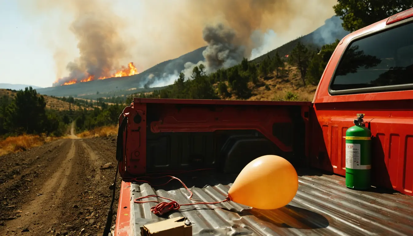
Marc Castellnou and the GRAF/Bombers Catalonia team launch weather balloons into wildfire plumes to measure temperature, wind and humidity. The readings support firefighters in real time and become data for later predictions of extreme fire behavior.
The Scientist · Science desk
What happened
- The team compares what the balloons record in the rising plume with conditions in the surrounding atmosphere.
- A plume that keeps growing can form a pyrocloud, draw in powerful inflows and cause sudden changes in surface wind direction and speed.
- According to Castellnou's research, a powerful plume can build a warm, turbulent layer that persists after the ground cools at sunset.
Why it matters
- decision A reading taken before a pyrocloud forms is meant to tell firefighters whether a strategy is still safe or when a tactic should be dropped.
- constraint Overnight containment, traditionally the window when cooler, more humid surface air slowed flames, cannot be assumed once a plume has modified the atmosphere.
- capability Each fire sampled becomes a source of inside-and-outside readings that researchers can study after the fire is out.
A plume's temperature means little on its own. The team measures the atmosphere both inside and outside the plume [1], and compares the two [3]. In effect the outside profile is the control. Air in the plume can keep rising only if it is warmer than the air around it, and wind and atmospheric stability set how far it goes [4].
The motive is practical. "If you want to fight fire, you first need to understand how it behaves," said Castellnou [8]. The measurements serve two users at once: firefighters who get real-time information during a fire, and researchers who use the data to learn from each fire and improve future predictions [2]. Castellnou combines the readings with meteorology and computer models [9].
Those two uses face different tests. A real-time reading only has to be right about the air at that moment. A forecast has to be checked against what the fire did afterward. The phys.org account describes the method and the physical reasoning. It does not say how many balloons have been launched, how many fires have been sampled, or whether any prediction built on the data has been checked against outcomes.
That gap matters because of how fast the target moves. Extreme wildfires can become devastating within minutes, with little warning [10], and a balloon samples the plume along the path it takes. In our view the value will come from accumulation: each launch is one paired profile, and the case for prediction depends on how many build up across fires.
What to watch
- Whether the team publishes how often an in-plume reading came before a change in fire behavior, with launch and fire counts.
- Whether the inside-and-outside dataset is released or used to test a forecast model against what fires did afterward.
- Whether the explanation for night burning, a warm turbulent layer that outlasts sunset, holds up in fires beyond those the team has sampled.
Clarity's read
What the record supports and how the coverage leans. The claims behind it follow.
Reality
- Evidence35
- Adoption
- Insufficient
- Hype gap+20
- Incentives
- Insufficient
- Confidence50
Claim ledger
Ranked by verification strength, evidence, and original report placement.
- [1]
Firefighter and researcher Marc Castellnou and the GRAF/Bombers Catalonia team measure the atmosphere both inside and outside wildfire plumes.
- [2]
The measurements provide real-time information to support firefighters battling the flames, and generate data that can be used to learn from each fire and improve future predictions.
- [3]
Castellnou launches weather balloons directly into rising fire plumes to measure temperature, humidity and wind, comparing these measurements with conditions in the surrounding atmosphere.
- [4]
If the air inside a plume is warmer than the surrounding air, it has the potential to keep rising; how far it rises also depends on the wind and the stability of the atmosphere.
- [5]
If a plume continues to grow, it can form a pyrocloud and begin creating its own weather, and it can generate powerful inflows and sudden changes in wind direction and speed at the surface, causing the fire to spread rapidly and unpredictably.
- [6]
Traditionally, nighttime offered firefighters an opportunity to bring wildfires under control because cooler temperatures and higher humidity at the surface slowed the flames, but extreme wildfires can continue burning fiercely through the night, so firefighters can no longer always count on nighttime to bring relief.
- [7]
According to Castellnou's research, a powerful fire plume rising high into the atmosphere can create its own layer of warm, turbulent air that extends beyond the fire, and this fire-modified atmosphere can persist after the ground cools at sunset.
- [8]
"If you want to fight fire, you first need to understand how it behaves," says Castellnou.
- [9]
Castellnou combines the balloon measurements with meteorology and computer models in his research.
- [10]
Wildfires can become devastating within minutes, with little warning, and extreme wildfires can suddenly accelerate across the landscape.
- [11]
Measuring the plume before a pyrocloud forms could give firefighters time to react, help validate whether an operational strategy remains safe as conditions change, or indicate when certain tactics should no longer be deployed.
Sources
1 independent publisher whose own reporting we read for this story.
- phys.orgMeasuring wildfire plumes to predict extreme fire behavior
1 article · October 12, 2026
Topics and entities
Follow any of these and your For You feed starts watching them — no settings page required.