Product1 publisher3 min readPublished
Starling navigated without GPS using the cameras it already had
NASA's FALCON experiment fixed a spacecraft's position by matching star-tracker images against an onboard catalog of 20,000 objects, and corrected 200 of their orbits in three days.
The Product Desk · Product desk
Drafted by a language model from the sources cited here and checked against its claim ledger before publication. How we use AISend a correction
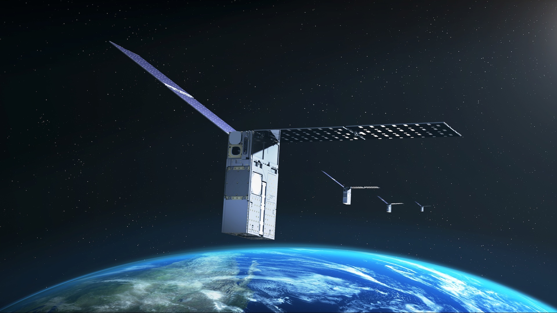
What happened
- NASA's Starling mission demonstrated a first-of-its-kind navigation system that lets a spacecraft determine its position in orbit by tracking other objects in space instead of relying on GPS.
- The system, called FALCON, uses cameras already aboard the spacecraft to identify other objects in orbit, then compares those observations with a catalog of known satellites and orbital debris to work out where Starling is located.
- FALCON is a joint flight experiment involving NASA and EraDrive, a startup spun out of Stanford University.
- FALCON combines EraDrive's Era-Core flight software with Starling's cameras and onboard space-object catalog, allowing the spacecraft to navigate and track objects without relying on a navigation network.
- The experiment used Starling's star-tracker cameras, which normally help determine a spacecraft's orientation by observing bright objects in space; FALCON put those cameras to another use by identifying objects such as satellites and orbital debris.
Compiled by The Product DeskSomething wrong?How this is made
Why it matters
NASA's Starling mission has demonstrated a navigation system, called FALCON, that works out a spacecraft's position in orbit by observing other objects in space rather than receiving GPS signals [1]. What makes it worth an operator's attention is not the capability but the bill of materials: the experiment ran on Starling's existing star-tracker cameras, hardware whose normal job is determining which way the spacecraft is pointing [5].
The method is unglamorous and that is the point. FALCON uses cameras already aboard to identify satellites and orbital debris, then compares those sightings with a catalog of known objects to solve for its own location [2]. The team loaded an onboard catalog of about 20,000 objects and their predicted orbits, and FALCON matched the predictions against what it actually saw [6][7]. The experiment pairs flight software from EraDrive, a startup spun out of Stanford University, with Starling's cameras and that onboard catalog [3][4]. Nothing here is a new sensor. It is an inversion of what an existing sensor's pixels are used for, plus a table of ephemerides and enough onboard compute to do the matching.
The second-order result is the more interesting one. Over a three-day period the system improved the known orbits of more than 200 objects with no intervention from operators on Earth, and NASA said the onboard estimates of object positions became more accurate than the existing catalog data [8][9]. That is roughly 67 orbit refinements a day [15], and about one percent of the loaded catalog touched in three days [16]. A navigation client that improves its own reference data as a side effect is a different kind of system from one that consumes a signal.
The motivating constraint is stated plainly: GPS was not designed to give reliable navigation around the Moon or in deep space, which is why autonomous alternatives matter for lunar and planetary missions [10]. Roger Hunter, program manager for NASA's Small Spacecraft and Distributed Systems program at Ames Research Center, said the results could have implications for on-orbit space-traffic monitoring, collision avoidance, and alternative navigation [11]. NASA frames the same output as reducing dependence on ground infrastructure [13].
Be clear about what the source does not provide. There is no published position accuracy, no figure for how long a fix takes, no statement of how stale the onboard catalog can get before matching degrades, and no cost or compute budget. Those are the numbers that decide whether this is a mission-critical navigation mode or a useful backup, and they are absent.
What to watch: NASA plans to extend the experiment later this year by having Starling's four-spacecraft swarm use the same Era-Core software to share tracking information and collectively refine their positions [12]. That is the test that matters, because it moves the problem from single-vehicle estimation to distributed consensus among spacecraft that may not have continuous contact with Earth, the configuration proposed for future swarms around the Moon and for distributed science missions that need precise positions to combine measurements taken from different places [14]. Also worth watching is whether the improved orbit estimates make their way back into ground catalogs, since a fleet of vehicles each quietly producing better ephemerides than the reference they were given is a data-plumbing question as much as a navigation one.