Barometers on drifting buoys improved forecasts of Mediterranean Storm Harry in a first assessment
Pressure data from drifting Mediterranean buoys improved forecasts of Storm Harry in January 2026, according to a new study of the M3E network. It rests on one storm, and the coverage does not say how large the gain was.
The Scientist · Science desk
What happened
- The study appears in the Quarterly Journal of the Royal Meteorological Society and is the first assessment of the impact of these buoy observations during Storm Harry.
- Storm Harry hit between Jan. 18 and 21, 2026, with rainfall above 300 millimeters at 23 monitoring locations and above 400 millimeters at eight.
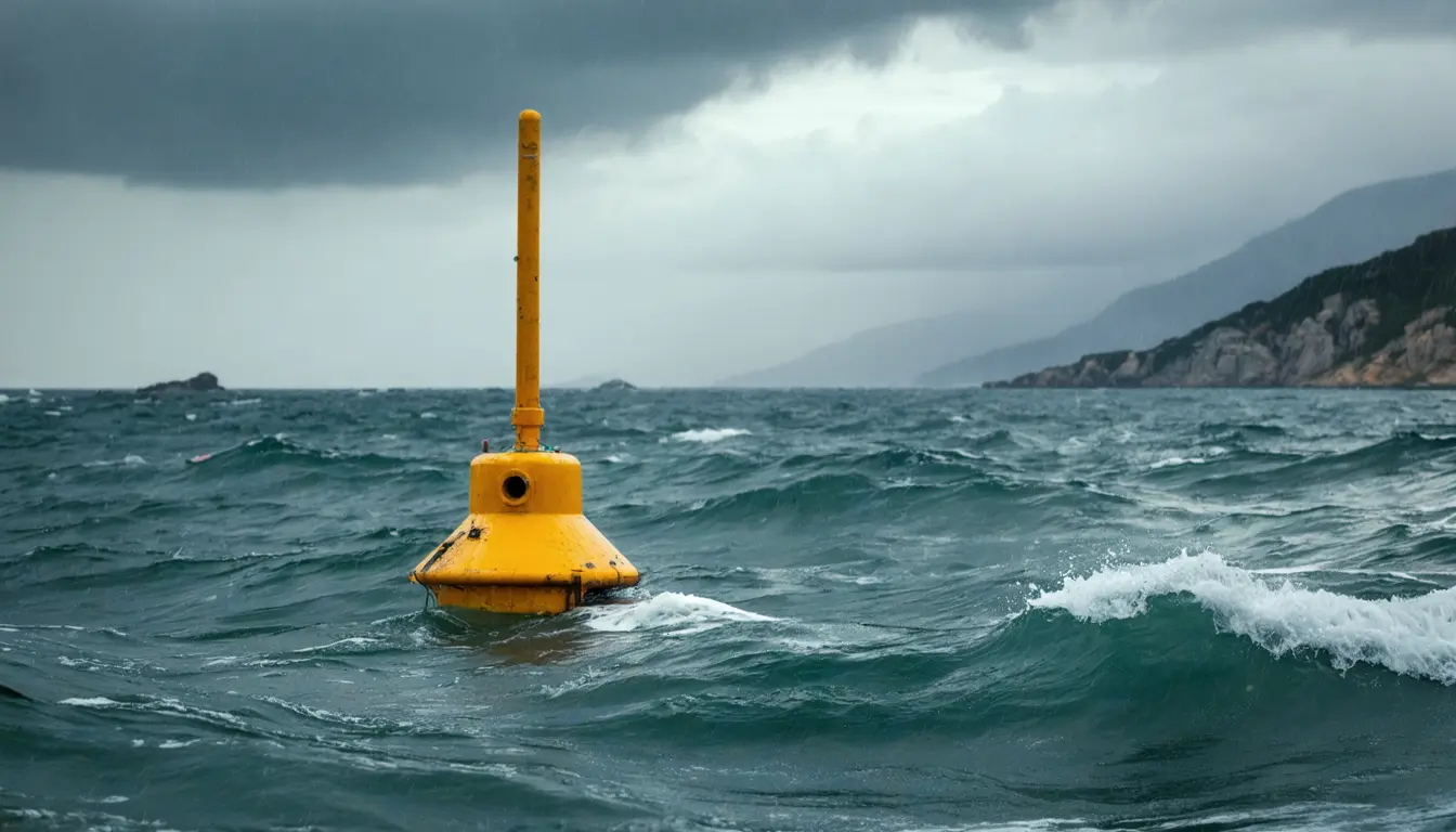
- Each buoy measures atmospheric pressure and sea surface temperature and transmits in near real time, so the readings can enter numerical weather prediction models.
- Data from a buoy in the Ionian Sea improved the representation of atmospheric circulation as the storm crossed that region.
- A second experiment ran forecasts without the buoy data. Around the Balearic Islands, near small lows tied to the storm, the forecast sea-level pressure came out significantly different.
Why it matters
- constraint North Africa rainfall was the harder forecast, so the pressure results do not settle whether buoys help where the forecast was weakest.
- capability Buoy pressure could also reach ocean forecasting, since ECMWF atmospheric forecasts supply the forcing for CMCC's MedFS in the Copernicus Marine Service.
- decision With CMCC deploying more buoys, including in the Tyrrhenian Sea, later storms can test whether the Harry result repeats.
The experiment that matters most is a withholding run. Forecasts using the available Mediterranean drifting-buoy observations were compared with forecasts in which those observations were withheld [3]. The logic is the usual one: if the buoy data are the only difference between the two runs, a change in the forecast can be attributed to them.
What that run reports is a difference between two forecasts. A difference shows the buoys moved the forecast. It takes verification against observed weather to show the forecast moved toward what happened, and the study's stated conclusion is that the pressure observations had a beneficial impact [1].
The people describing the result also run the network. The Mediterranean Extreme Events Experiment, or M3E, is co-coordinated by OGS and CMCC [5], and Emanuela Clementi, a CMCC senior scientist, is a co-author of the study [12]. "Storm Harry gave us the first evidence that these data help forecasts," she said [11].
She put the case for the buoys' location in similar terms. "The Ionian Sea and central Mediterranean have historically had limited coverage of in situ atmospheric measurements, despite being areas where intense storms and persistent cyclones can develop," Clementi said [9].
ECMWF forecasts had already predicted the heavy rainfall in southern Italy about seven days ahead [7]. The thing this doesn't tell you is whether the buoys changed that rainfall forecast, or only the pressure and circulation fields.
What to watch
- Whether the study's verification figures show how large the forecast-error reduction was and how many buoys were in the experiment.
- Whether Tyrrhenian Sea and other new buoy deployments are assessed in later Mediterranean storms.
- Whether any result appears for North African precipitation, the case ECMWF found harder to forecast.
Clarity's read
What the record supports and how the coverage leans. The claims behind it follow.
Reality
- Evidence45
- Adoption
- Insufficient
- Hype gap+15
- Incentives55
- Confidence50
Claim ledger
Ranked by verification strength, evidence, and original report placement.
- [1]
The study shows that atmospheric pressure observations from the M3E buoys had a beneficial impact on forecasts during Storm Harry.
- [2]
Data from a buoy in the Ionian Sea contributed to improving the representation of atmospheric circulation as Storm Harry crossed the region.
- [3]
An additional experiment compared forecasts using the available Mediterranean drifting-buoy observations with forecasts in which these observations were withheld; the results showed significant differences in forecast sea-level pressure near the Balearic Islands, close to small low-pressure systems associated with the storm.
- [4]
A study in the Quarterly Journal of the Royal Meteorological Society provides the first assessment of the impact of drifting-buoy observations during Storm Harry, which affected the Mediterranean region in January 2026.
- [5]
The Mediterranean Extreme Events Experiment (M3E) is an international initiative co-coordinated by OGS and CMCC.
- [6]
Storm Harry brought intense rainfall and rough seas to several Mediterranean countries between Jan. 18 and 21, 2026; over three days, rainfall exceeded 300 millimeters in 23 monitoring locations and 400 millimeters in eight of them.
- [7]
Forecasts from the ECMWF successfully predicted the heavy rainfall in southern Italy approximately seven days ahead of the event.
- [8]
Forecasting precipitation in North Africa proved more challenging, partly because of small, rapidly evolving low-pressure systems that are difficult to capture accurately.
- [9]
"The Ionian Sea and central Mediterranean have historically had limited coverage of in situ atmospheric measurements, despite being areas where intense storms and persistent cyclones can develop."
- [10]
The M3E buoys measure atmospheric pressure and sea surface temperature; the observations are transmitted in near real time and made available to forecasting systems, where they can be incorporated into numerical weather prediction models.
- [11]
"Storm Harry gave us the first evidence that these data help forecasts."
- [12]
Emanuela Clementi is a senior scientist at CMCC and a co-author of the study.
- [13]
CMCC contributes to expanding the observational network by providing and deploying additional drifting buoys, including in the Tyrrhenian Sea, to improve spatial coverage across the Mediterranean Sea.
- [14]
ECMWF atmospheric forecasts provide essential forcing conditions for the CMCC Mediterranean Forecasting System (MedFS), which operates within the Copernicus Marine Service.
Get this ledger inside ChatGPT. Ask about any of our stories and the answer brings its figure, each claim’s verdict and the sources. Free, no account.
Sources
1 independent publisher whose own reporting we read for this story.
- phys.orgStorm Harry: Drifting buoys help improve early forecasts of extreme events in the Mediterranean Sea
1 article · October 14, 2026
Topics and entities
Follow any of these and your For You feed starts watching them — no settings page required.
Topics
- Ocean Observing SystemsFollow
- Numerical Weather PredictionFollow
- Mediterranean stormsFollow