Science1 publisher2 min readPublished
NASA pairs two Landsat scenes with a rainfall summary to show the Murchison in bloom
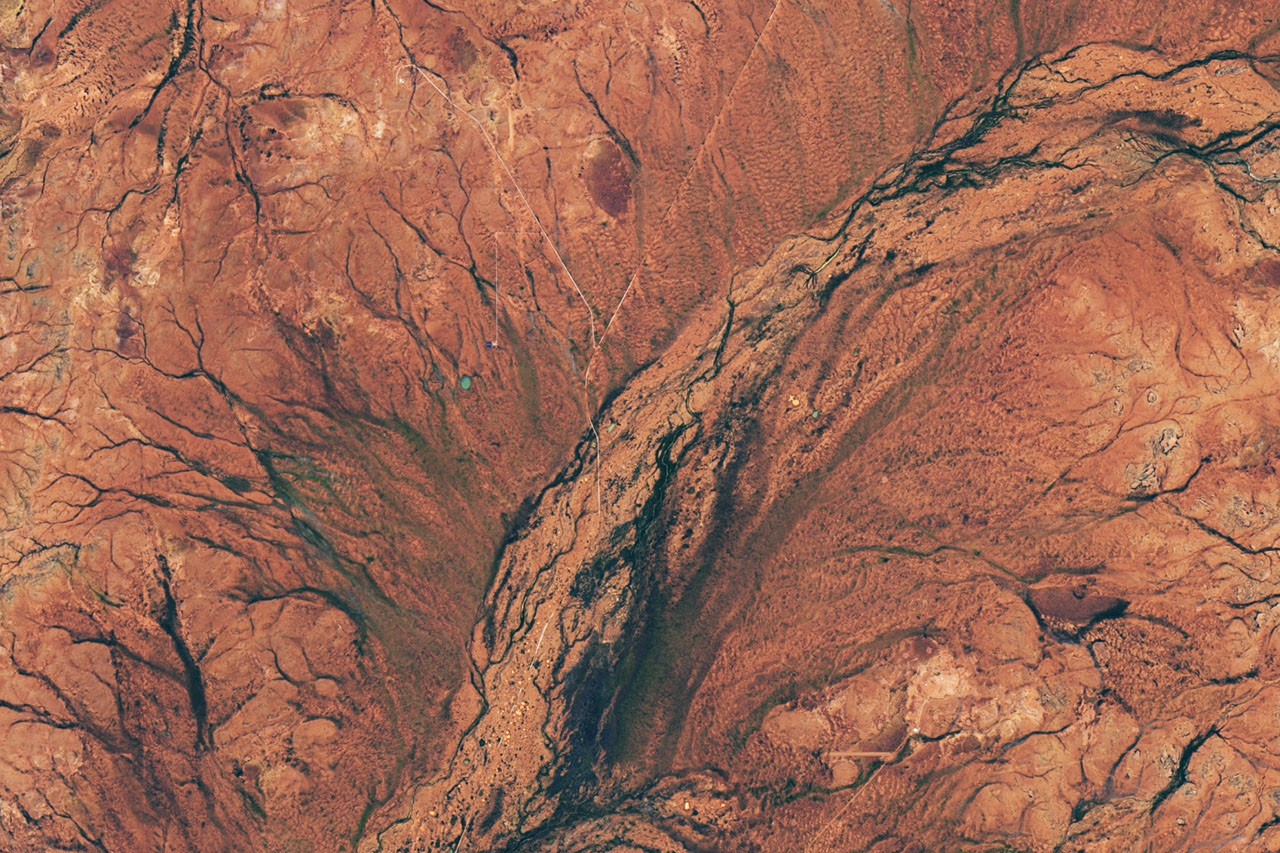
Above-average June rain and a very wet August in Western Australia's Murchison brought carpets of wildflowers that Landsat 8 caught in late August, in a before-and-after pair where the ground is greener and the flowers themselves go uncounted.
The Scientist · Science desk
What happened
- Wildflowers spread across arid shrubland in Western Australia in late austral winter 2026, after several wetter-than-normal months, with dormant seeds in the soil producing carpets of blooms.
- The Operational Land Imager on NASA and USGS's Landsat 8 captured a late-August 2026 scene alongside a similar date in 2025, when the same country about 600 kilometres north of Perth was drier.
- Australia's Bureau of Meteorology recorded rainfall above average in June and very much above average in August, and attributed the wet months to several cold fronts moving through the area.
- The flush included threatened species on CSIRO's Murchison Radio-astronomy Observatory, formerly pastoral land where the observatory has helped monitor them.
- NASA's Earth Observatory reported that local experts think the display could be the best the area has seen in nearly two decades.
Compiled by The ScientistSomething wrong?How this is made
Why it matters
- constraint A greenness difference between two August scenes does not tell a Murchison grazier how much feed is standing.
- capability A destocked former pasture with species monitoring already on it, sitting inside a working grazing district, is the kind of comparison plot needed to test a rainfall-to-greenness relationship against what is actually growing.
- precedent If this pair becomes the standing citation for a record bloom, the nearly-two-decade ranking enters the record as an image caption, and no measured series backs it.
Landsat 8's Operational Land Imager records the colour of the ground, not which species produced it. That matters here, because the standing vegetation in this part of the Murchison is grasses, saltbush and the slow-growing evergreen mulga [5], and rain greens all of them. The 2026 scene is the more verdant of the two [3].
The rainfall half of the pairing is a category. NASA's account reports the Bureau of Meteorology's June and August figures as rankings against average, and gives no millimetre totals for either month [15]. So a qualitative rainfall summary sits beside a qualitative image comparison, and the line connecting them, that dormant seeds in the soil awoke [1], comes with no seed or seedling count behind it.
The published imagery is two acquisition dates one year apart [13]. The claim it illustrates comes from local experts whom NASA's story does not name, and nearly two decades implies roughly nineteen flowering seasons, about seventeen of them with no image in this comparison [14]. I don't think that adds up to a measurement of the seed bank yet. Long local memory is real evidence in country where people watch the same paddocks for thirty years.
A greenness series for the same scene footprint across many years, keyed to the Bureau's monthly rainfall for the same area, would rank 2026 within a sequence of years, where now it sits beside a single drier year. Ground counts separating the ephemeral flowers from the perennial shrub response would supply the other half, and that is close to what the threatened-species monitoring on CSIRO's Murchison land already does [8].
CSIRO's site is useful for a second reason. It is formerly pastoral land [8] inside one of Western Australia's main sheep and cattle districts [4], and it sits within a radio-quiet zone where terrestrial communications and electronic devices are controlled to protect the antenna arrays [9]. A destocked block surrounded by grazed country is the comparison a grazing-recovery study wants, and the observatory has staff on it.
Lauren Dauphin made the images from USGS Landsat data, and CSIRO supplied the ground photographs on September 16, 2026 [11]. The other public record of the season cited in the story is a Guardian picture gallery published September 13, 2026 [12].
What to watch
- Whether the Bureau of Meteorology's Murchison climate summaries publish millimetre totals that rank June and August 2026 within a long series.
- Whether CSIRO releases threatened-species counts from the 2026 season that can be matched to the Landsat acquisition dates.
- Whether anyone builds a multi-year greenness series for the same scene footprint, which would test the nearly-two-decades claim against imagery.