Science1 publisher3 min readPublished
Drones carry electromagnetic sensors over Alaska's tundra to find where permafrost has thawed
Civil engineers are developing drone-carried electromagnetic surveys to find thawed permafrost in Alaska, where thaw damage could reach $51 billion. The surveys show crews where to look closely before drilling, though their depth estimates are still uncertain.
The Scientist · Science desk
Drafted by a language model from the sources cited here and checked against its claim ledger before publication. How we use AISend a correction
What happened
- The amount of ground ice and unfrozen water can vary sharply between locations only a city block apart, according to the civil engineer who wrote the account.
- In Utqiagvik, a bluff partly collapsed in 2023 and 2024 as waves cut its base and thaw weakened the frozen ground above, bringing its edge near roads and buildings.
- In that projection the share of infrastructure at risk stays below 10% around midcentury, then rises rapidly between the 2060s and 2080s.
Compiled by The ScientistSomething wrong?How this is made
Why it matters
- constraint Because its depth estimates are uncertain, a drone survey can narrow down where crews drill, but it cannot replace the boreholes that a foundation design is checked against.
- decision Anyone choosing a foundation with a 50-year life today is designing for ground that the projection expects to change fastest in the later decades of that service.
- cost Pipeline owners around Prudhoe Bay face damage costs beyond the statewide estimate, since that range counts only buildings and roads.
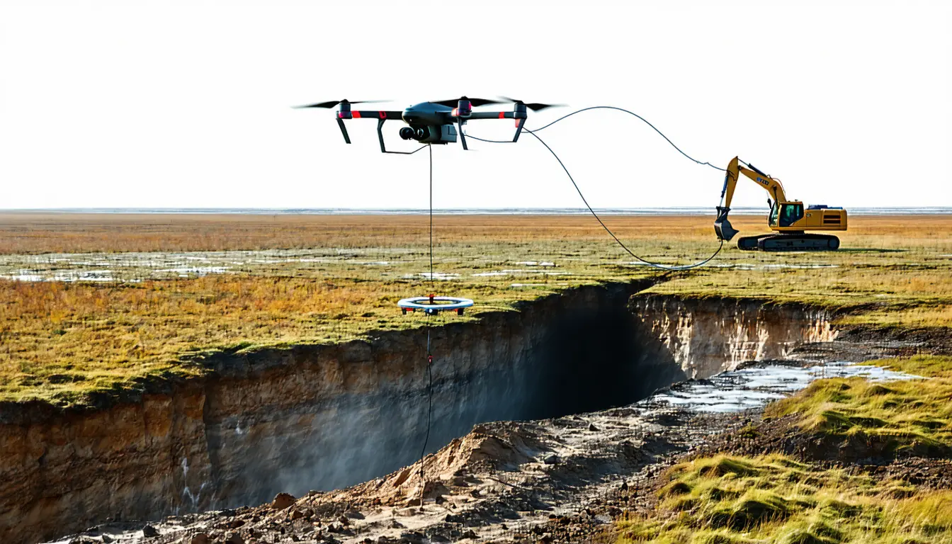
The sensor measures how well the ground conducts electricity. Along the Arctic coast, conductivity is a useful stand-in for thaw because salty water that has not frozen conducts far better than ice-rich frozen ground [8]. The method is called very low frequency electromagnetic surveying [7]. It reads how the ground responds to signals from distant transmitters and never touches the surface, so a lightweight unit can be flown over wet tundra that is prone to thawing [7].
The alternative is drilling. Dense borehole grids are expensive, disruptive and extremely labor-intensive, the author wrote [6]. The grids also have to be dense, because ice and unfrozen water can differ sharply between spots a city block apart [5]. Wainwright looks stable from the air, but the frozen ground under the town holds large bodies of ice, and that ice is now exposed and melting along its eroding bluffs [17].
The author, a civil engineer who has spent a decade on Arctic permafrost and infrastructure [2], is open about the survey's limits. Its depth estimates can be uncertain [9]. The author claims only this much for it: "it can identify where subsurface conditions have changed so engineers know where to look closely" [10]. I think that order of work is right. Screen from the air, then drill where the survey shows a contrast.
The thing this doesn't tell you is how often the screen is right. The article does not report how often a drone anomaly matched what a borehole later found. A conductivity map also shows ground that has already changed. A foundation fails on two other quantities: how far the ground settles and how much load it can bear. Those are the quantities the group is trying to project forward [12]. The team lists digital twins among its techniques [4].
Forecasting has a scale problem of its own. The group's 2026 study covers the whole Arctic Coastal Plain [13], and the author wrote: "A regional permafrost map alone cannot tell a builder how a particular foundation or road will survive as temperatures rise" [3]. The study puts about 80% of buildings on the plain at risk of damage from sinking land by the 2090s [15]. Only a site survey tells an owner whether a given building is in that share. The figures assume greenhouse gas emissions stay high [14].
The rise comes late and fast. The overall at-risk share stays below 10% around midcentury, then climbs rapidly between the 2060s and 2080s [14]. Infrastructure can stay in service for 20, 50 or more years [11]. A foundation poured in 2026 with a 50-year life would still be carrying load in 2076, partway through that climb [1].
The statewide cost estimate covers less than the projection does. A 2025 study put thaw damage at $37 billion to $51 billion for buildings and roads alone [1], with $14 billion between the low and high ends [2]. Pipelines are outside that range. The Coastal Plain study puts them most at risk of any category, about 90% by the 2090s [15], in a region that includes Prudhoe Bay and much of Alaska's oil industry operations [13].
What to watch
- Published comparisons of drone VLF-EM anomalies against borehole samples at the same Alaskan sites, giving a hit rate for the aerial screen.
- Arctic Coastal Plain projections under lower-emissions scenarios, showing whether the rapid 2060s-2080s rise holds when warming slows.
- A statewide thaw-damage estimate that adds pipelines to the buildings-and-roads total.