Science1 publisher3 min readPublished
Forty years of satellite images show shrubs spreading inside northeastern alpine zones
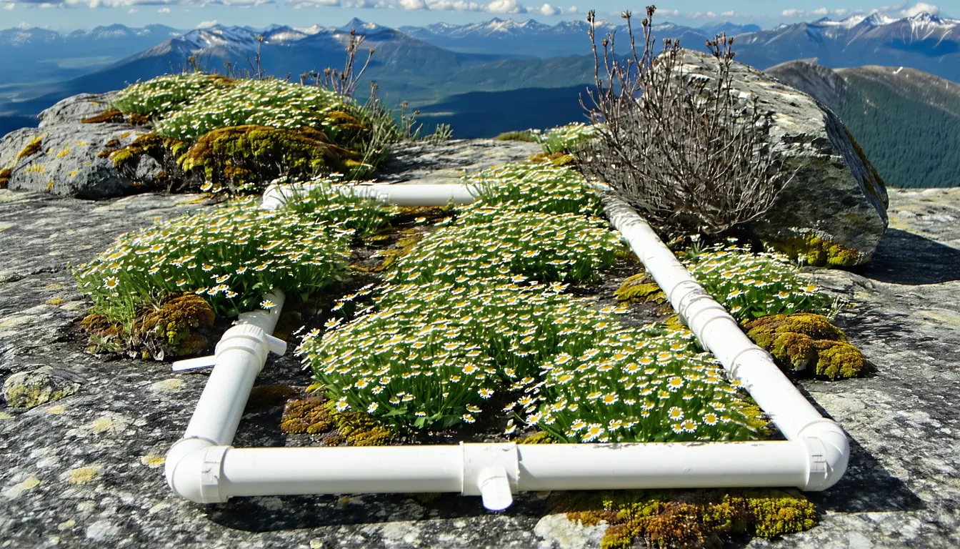
Dartmouth and Appalachian Mountain Club researchers found significant vegetation gains in 69% of alpine zones between the Adirondacks and the Gaspe. The growth runs fastest on wind-sheltered slopes, where ground surveys will have to settle whether rare flowering plants are losing out.
The Scientist · Science desk
What happened
- Researchers used hundreds of satellite images spanning 40 years for the first regional study of greening in alpine zones along the 500-mile chain from the Adirondacks to the Gaspe.
- Writing in Ecosphere, they report significant vegetation increases in 69% of the alpine zones studied, a set covering 88% of the region's alpine area.
- Chipman says shrubs are replacing alpine plants inside the zone itself, most visibly at higher elevations in New Hampshire's Presidential Range and on Maine's Katahdin.
- The region is warming, yet the greening does not closely match the pattern expected from warming, and the researchers suspect other factors are adding to it.
Compiled by The ScientistSomething wrong?How this is made
Why it matters
- constraint Monitoring that tracks only the tree line would miss much of this change, since the shrub gains on summits like Katahdin are happening higher up, in the open alpine zone.
- decision Field crews checking whether rare plants are being displaced have a place to start: the sheltered slopes, where Chipman says growth is outpacing the windward side.
- exposure With nearly 70 million people within a day's drive, visitor traffic that can carry in invasive species reaches plant communities that shrubs are already changing.
Read together, the two percentages describe size as well as extent. If 69% of the zones hold 88% of the alpine area [7], the other 31% of zones hold just 12% of it [8]. On average, a zone that greened covers about 3.3 times the area of a zone that did not [9], so the change is concentrated in the larger zones. The phys.org account does not give the number of zones studied, so it is not possible to say how many summits sit behind each percentage.
Earlier greening studies looked at the Alps, the Rocky Mountains and the Arctic [22]. Chipman, who directs Dartmouth's Citrin Family GIS/Applied Spatial Analysis Laboratory [5], contrasted the Northeast with the first of those. "In other regions such as in the Alps, as an area near the top of the mountain warms, the tree line advances, growing higher up the mountain, but the situation here is quite different," he said [10]. Here the gains show up in cliff plants rooted in rock outcrops, in dome-shaped cushion-tussock and in grass-like sedge meadows [13].
Wind is the regional peculiarity. Chipman listed the overall warming trend, slope steepness, sun exposure, snow cover, soil chemistry and nitrogen from power plant emissions as factors [21], then said "what's notable in this region is the effect of wind" [15]. Mount Washington in New Hampshire holds the highest wind speed recorded at a staffed weather station, 231 miles per hour [16]. "The wind causes the alpine zones to start lower than they would be elsewhere at this latitude," Chipman said [17]. He described a split by exposure. "What we're seeing is that this greening trend on mountains in the Northeast is kind of being held back on the windy side of the mountains, but there's this kind of growth that is being unleashed on the more sheltered sides, where it's occurring faster," he said [18].
The windward-lee contrast is the closest thing this observational design has to a control. Two faces of one summit share roughly the same regional climate trend, so a difference between them points to local exposure. Exposure bundles wind with snow and sunlight, and Chipman counts both of those as factors too [21].
Among the suspects behind the imperfect fit with warming is nitrogen. "In the late 20th century these mountains were being doused with nitrogen from Midwestern power plant emissions," Chipman said [20]. For now it is a suspected cause. A satellite time series shows where and when plant cover increased. By itself it cannot separate a nitrogen legacy from warming, snow loss or soil chemistry.
The co-authors state the risk conditionally: the added growth may not be positive if more aggressive flora crowd out rare alpine plants [14]. Satellite greenness registers plant cover without naming species. Whether the rare flowering plants that make these zones biodiversity hotspots [3] are declining is a question for ground surveys. Recreation, snow loss and nutrient deposition appear in the account as pressures on the zones [4]; the satellite work measured vegetation change. The Appalachian Mountain Club, where Tourville is a terrestrial ecologist [5], brings fieldwork and citizen-science expertise in alpine ecology to the partnership [23].
What to watch
- Ground surveys or citizen-science counts on the sheltered slopes of the Presidential Range and Katahdin showing whether rare flowering species are declining where shrubs have spread.
- An analysis that tests greening against historical nitrogen deposition and snow-cover records, which would show whether nitrogen explains the part warming does not.