Science1 publisher3 min readPublished
EarthCARE's lidar helped Darwin forecasters confirm the height of Anak Krakatau's ash plume
Australia's Darwin ash-advisory centre used ESA's EarthCARE lidar to confirm that Anak Krakatau's westward plume sat near 15 km, as forecast. That check brought a satellite built to study clouds and Earth's energy balance into aviation advice in near-real time.
The Scientist · Science desk
What happened
- Anak Krakatau began erupting on Sept. 4, and thousands of flights were grounded, leaving hundreds of thousands of passengers stranded.
- Aviation ash advice worldwide comes from nine Volcanic Ash Advisory Centres, each responsible for its own part of the globe.
- Volcanic ash can damage jet engines or make them stall and can scratch cockpit windows, while gases such as sulfur dioxide can contaminate cabin air.
- EarthCARE's cloud radar picked up a feature reaching from the surface to about 6 km in the plume some 200 km from the vent, which ECMWF's Robin Hogan said is believed to be large ash settling out.
Compiled by The ScientistSomething wrong?How this is made
Why it matters
- capability A centre can test the height in its ash guidance against a measured vertical profile while the plume is still moving, and correct the advice if the two disagree.
- constraint Sulfur dioxide gas, the cabin-air hazard, is not among the aerosol types the lidar estimates, so the gas side of an advisory still rests on the rest of a centre's satellite suite.
- constraint Until the radar feature is confirmed, it can justify a no-fly message but cannot yet be used to retune how fast dispersion models drop heavy ash out of a plume.
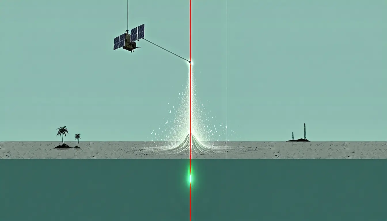
ATLID, EarthCARE's lidar, sends pulses of ultraviolet light toward Earth and measures the light that scatters back to the satellite [7]. The return gives the altitude and concentration of the aerosols beneath it. Run through further algorithms, it also gives an estimate of type: ash, smoke, sulfate, sea salt or desert dust [8]. Over Anak Krakatau, the profile was used to check a forecast. "Together with the VAAC forecasters, we were able to verify the forecast guidance of the westward-moving plume at FL500," said Andy Prata of the Australian Bureau of Meteorology, adding that FL500 is around 15 km [9]. "ATLID was crucial to help forecasters verify the altitude of the upper-level component of the plume," he said [10].
The radar result is stranger. The cloud profiling radar's much longer wavelength makes it more sensitive to large particles and much less sensitive to small ones, Robin Hogan of ECMWF said [11]. He explained what that should have meant here: "Normally we would expect the particles in a volcanic plume 200 km (124 miles) from the source to be too small to be detected by a radar" [11]. The radar returned a signal anyway. Hogan put the detection down to what he called the CPR's "unprecedentedly high sensitivity" [12].
Hogan's verb for what the return shows is "believed" [12], and I think it is the right one. According to the ESA account, what fills that region is still speculation and needs further study [15]. Helen Dacre of the University of Reading set out what depends on confirmation. "If confirmed, this would provide useful evidence that large ash particles can remain aloft for longer, and travel farther, than is often assumed," she said [13]. The observation, she said, "offers a valuable opportunity to constrain both ash sedimentation rates and long-range transport processes in volcanic ash dispersion models" [14]. The aviation advice did not wait for that test. The message to authorities was simply not to fly aircraft there [15].
EarthCARE was designed for a different job. Its four instruments, the lidar and radar plus a multispectral imager and a broadband radiometer, work together to measure clouds and aerosols and how they regulate Earth's energy balance [6]. "The separate, layered and interacting plumes of ash, clouds, gases and aerosols from volcanic eruptions are complex and evolve rapidly," said Shannon Mason of ECMWF [17]. "With a timely observation from EarthCARE we were able to grasp the vertical structure of this event in near-real time to inform aviation advice," she said [16].
The thing this doesn't tell you is how often such an observation is available. The account covers one eruption at one advisory centre, and it does not say how often EarthCARE can deliver a profile of a fresh plume [4].
What to watch
- Follow-up analysis of the CPR feature that either confirms large ash aggregates 200 km downwind or attributes the radar return to something else.
- Whether any of the other eight Volcanic Ash Advisory Centres add EarthCARE lidar profiles to their routine monitoring.