Science1 publisher3 min readPublished
Tohoku researchers tie a 110% rise in flood-exposed settlement in Marumori to false confidence in levees
Tohoku and Meijo researchers report a 110% rise in flood-exposed settlement area in Japan's Marumori and blame misplaced trust in levees. Their Meiji-era terrain model shows what levees do to floodwater more firmly than it shows why people built near them.
The Scientist · Science desk
What happened
- The team rebuilt Marumori's Meiji-era landscape from old maps and simulated floods on it and on present-day terrain to isolate the effect of human changes to the land.
- The analysis located a tipping point past which modern terrain modifications switch from lowering flood depths to raising them.
- IRIDeS researcher Shuji Moriguchi said modern flood-control structures were completely overwhelmed during the 2019 Typhoon Hagibis.
Compiled by The ScientistSomething wrong?How this is made
Why it matters
- decision Whether a levee is worth building on a given river now depends on knowing where its tipping point sits, because the same structure lowers big floods and raises small ones.
- exposure About twice the settled area now sits on flood-exposed land near defences that Hagibis overwhelmed, so the storms levees cannot stop will reach more buildings.
- constraint Without a reported test of why people built where they did, the 110% figure supports the Safe Development Paradox as a hypothesis for other towns but cannot yet carry it as a proven cause.
- capability Because the models split terrain changes from climate and urban growth, other levee-protected towns can be put through the same historical-baseline comparison.
Asking whether a levee helped is hard because nothing else held still. In Marumori, rainfall patterns, river structures and urban growth all changed over the same century, according to the phys.org account of the study [5]. So the team built its control from history. It used old maps and detailed computer simulation to recreate the town's natural landscape [4], then compared that Meiji-era baseline, and where people had built on it, with present-day conditions [1].
"By looking back at conditions in the Meiji era as a natural baseline, we can use models to determine whether the flood prevention infrastructure we installed is helping," said Nilo Lemuel J. Dolojan of the International Research Institute of Disaster Science (IRIDeS), the paper's lead author [14][2]. According to the account, the models separate the effect of human-made changes to the land from the effects of climate change and urban growth [13].
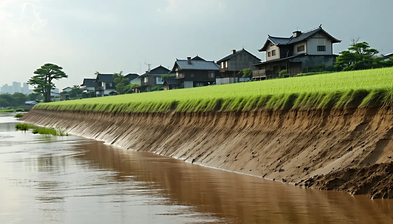
The physical result depends on the storm. In heavy storms with widespread flooding, the simulated levees reduced flood volumes. In light rain, volumes rose [6]. The cause is drainage. Walls that keep a swollen river out also keep rainwater in, so neighbourhoods flood from the inside, worse than they did a century ago [7]. Between those two regimes the analysis found a tipping point where modern terrain modifications stop lowering flood depths and start raising them [8]. Dolojan's summary was careful: "Surprisingly, we discovered that these 'upgrades' might have made things worse in some cases," he said [15].
Heavy rain has its exceptions too. "In general, the levees are still effective during heavy rainfall. But even then, we still found exceptions," said Shuji Moriguchi of IRIDeS [9]. "During the unexpectedly strong 2019 Typhoon Hagibis, modern flood-control structures were completely overwhelmed." [10]
The exposure claim is where I would hold back. Settlement area exposed to flooding grew 110% [11], so the exposed area is 2.1 times its earlier size [1]. The researchers call this the "Safe Development Paradox": defences make people feel safe, so communities build closer to lowlands that flooded in the past [12]. They noted that nearby communities acted as if the levees were foolproof [18]. The growth fits that account. It would also fit a town that expanded onto flat riverside land because that was the land left to build on. The phys.org account says the models allow "quantitative verification" of the paradox [13]. It does not describe a test of why people chose those sites, give the size of the light-rain increase, or state the baseline year for the 110% figure.
In my view the flood physics is the firmer of the two findings, though it rests on simulations of one town [3]. The phys.org account suggests that locating the tipping point for each body of water may be key to deciding whether flood-prevention infrastructure is needed at all [16]. The researchers said they want to keep improving the model and start conversations about urban planning that reduces hazard exposure [17].
What to watch
- Whether the full paper gives the rainfall threshold for Marumori's tipping point, which would show how often ordinary storms fall on the side where levees worsen flooding.
- Whether the model is run on other levee-protected towns and exposure growth there lines up with levee construction dates, which would test the causal half of the paradox.
- Whether Marumori or Miyagi Prefecture planners use the tipping-point results in land-use or drainage decisions for the town's lowlands.