Product1 publisher2 min readPublished
Swiftstrike adds AEye's lidar to catch drones that fly without a radio link
AB Swiftstrike AI is folding AEye's STRATOS lidar into its autonomous counter-drone platform to see aircraft that stay off the air, on the strength of a detection range AEye states for objects at 0.93 miles.
The Product Desk · Product desk
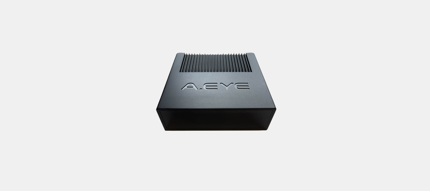
What happened
- AEye and the Swedish defence technology firm AB Swiftstrike AI will integrate AEye's STRATOS lidar into Swiftstrike's autonomous counter-drone systems, which target aircraft approaching without a conventional radio signal.
- AEye says STRATOS detects objects at distances reaching 0.93 miles, from a sensor roughly comparable in size to a smartphone.
- Some unmanned aircraft can operate without maintaining a live radio connection, and counter-UAS systems that depend heavily on radio-frequency signatures become less useful against them.
- The two companies did not disclose a deployment schedule or a specific customer for the integrated system.
Compiled by The Product DeskSomething wrong?How this is made
Why it matters
- capability The lidar track carries range, altitude and speed, so an autonomous system can begin sizing an intercept on geometry before the target has been identified electronically at all.
- constraint The resolution gain is published as a multiple of AEye's own Apollo sensor, so a buyer comparing STRATOS against a rival lidar has to obtain Apollo's absolute figure before the number means anything.
- precedent Swiftstrike's CEO named modular architecture as something customers require, a sign that buyers want sensor slots they can refill with a different supplier.
- exposure Cheaper and more autonomous small drones push the cost of early warning onto military installations and critical infrastructure sites. Those sites now have to justify a second sensing layer they did not budget for.
Which range should a site operator plan around? AEye states 0.93 miles for objects [2]. Swiftstrike's own claim is narrower and more useful: the integration will extend the distance at which its platform can detect and classify aerial targets [16]. Those are two different ranges, and the classify number is the one that decides whether an effector gets a shot.
Swiftstrike is Swedish [1], and 0.93 miles converts to roughly 1,497 metres [14]. At that distance a small aircraft occupies only a tiny portion of the sensor's field of view, which is the problem higher resolution is meant to address [18].
AEye built STRATOS to be about the size of a smartphone, with a software-defined architecture that lets the sensor's capabilities change through software [4]. That second part matters to whoever signs off on the install. A sensor whose behaviour can be updated after it is bolted to a mast can stop matching the acceptance test it passed.
Matt Fisch, AEye's chairman and CEO, said small drones require detection at meaningful distances, and that STRATOS goes at that problem through long-range, high-resolution sensing [9]. Karl Murray, Swiftstrike's CEO, said the integration will expand the range of his company's sensing layer [10]. Swiftstrike's platform already combines multiple sensors with autonomous software and kinetic intercept [5].
Fortune Business Insights puts counter-UAS spending at roughly $14.4 billion in 2026 and about $55.3 billion by 2034 [12][11]. That is 3.8 times over eight years, or about 18 percent a year compounded [15]. The forecast covers military and security applications across the category, not optical sensing specifically [11].
A two-column sheet handles the evaluation. Column one is the range at which each layer detects something. Column two is the range at which each layer classifies the airframe you actually expect over your fence. Radio-frequency sensing fills both columns cheaply while the drone is transmitting, and both go empty when it is not [7]. Lidar is an active measurement, pulsing a laser and returning three-dimensional position, which is what separates an aerial target from the clutter behind it [8]. AEye's 0.93 miles belongs in column one.
What to watch
- A published classification range against a named small airframe.
- An absolute resolution figure for AEye's Apollo sensor, which would make the 'more than twice' claim comparable with rival lidar.
- Whether other counter-UAS suppliers start adding an optical layer to RF-first stacks on the same reasoning.