Science1 publisher2 min readPublished
East Antarctica's least-observed ice basin holds 3 to 4 metres of potential sea-level rise
Researchers reviewing East Antarctica's Wilkes Subglacial Basin say its ice would raise seas 3 to 4 metres if it all melted. The basin shrank sharply in past climates 2 to 3 degrees warmer, yet too little ocean data exists to project how fast it could retreat now.
The Scientist · Science desk
What happened
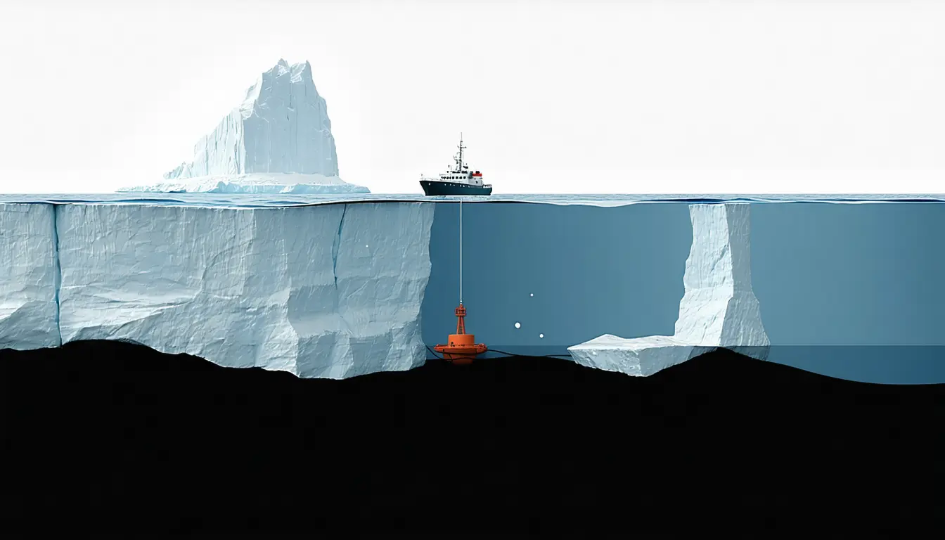
- In places the basin's bed deepens inland, so a retreating ice edge exposes more ice to the sea, and past some point the authors expect the retreat to sustain itself.
- In the Pliocene, three million years ago, ice sheets retreated hundreds of kilometres inland and global seas stood 6 to 23 metres higher.
- The authors say the seafloor routes warm water could take to the ice are unmapped, and records of changing ocean temperature there are lacking.
- Only the most capable icebreakers could reach the basin by sea, and no ship has ever come within 150 kilometres of its Cook Glacier.
Compiled by The ScientistSomething wrong?How this is made
Why it matters
- constraint Until ocean measurements exist at the basin's edge, sea-level projections can state how much Wilkes could contribute but not when it would arrive.
- cost Filling the gap means sending crews on heavy icebreakers, because satellites cannot see through sea ice or ocean water to the seafloor and water that set the melt rate.
- precedent Thwaites became far better understood after years of large international programs, and the review holds it up as the level of study Wilkes now lacks.
The review's authors, writing on phys.org, draw on three kinds of evidence [19]. Airborne ice-penetrating radar mapped the bed and showed its shape [7]. Satellites recorded East Antarctica's first known collapse of a fringing ice shelf, some time in the 1970s or 1980s [8]. Seafloor sediments record how far the ice pulled back three million years ago [11]. Each describes where the ice sits or once sat. The pace of retreat is set at the edge, where the ice meets the sea [5].
Water off East Antarctica tends to sit around -1.8 degrees Celsius [5]. That is cold, but the ice is much colder. According to the authors, a small rise in water temperature or a change in currents melts the basin's edge faster and speeds the flow of ice behind it [5]. The bed under that ice lies as much as 2,000 metres below sea level [4]. For now the ice is thick enough to keep the ocean out of the basin, though the sea is always in contact with its edges [21].
The Pliocene range is wide. Its high end is nearly four times its low end [2], and it is a global total. The review as reported does not say how much of it came from Wilkes. Warm climate and shrunken ice appear together in that record, and the authors expect the world to reach similar warming by the end of this century [12]. Projections, they write, show accelerating melt and a dramatic retreat of the basin's ice [13].
The thing the evidence doesn't yet tell you is when. "What we don't know is the time frame," the authors wrote [20].
Getting there is hard because of sea ice. Hobart is closer to the basin's major glaciers than it is to Darwin [15], but unusually thick, persistent and compacted sea ice shields the coast, and the basin is among the least observed places on Earth [14]. The area in question measures 1,400 by 400 kilometres [1]. A box of those dimensions covers 560,000 square kilometres [1]. More than a century after Douglas Mawson's sledging party turned back from the region, the authors say they know of no one who has been on the basin's ice [18].
What to watch
- An expedition that reaches the Wilkes glacier fronts by ship and maps the seafloor routes warm water could take to the ice.
- Ocean temperature time series from the basin edge, the input modellers need before they can attach a rate to the projected retreat.
- Whether any national or international program commits Thwaites-scale, multi-year funding to the Wilkes basin.