Science1 distinct publisher3 min readPublished
The creep was about 10 millimetres a month, far too slow to trip any threshold set in advance. Manoochehr Shirzaei's preliminary read is that nobody was screening for the change in its rate.
The Scientist · Science desk

science
Petermann's 30-square-mile calving was the small one: two bigger sections are already cracked2 distinct publishers
science
Rydberg chain spectra match Ising CFT predictions, turning a simulator into an instrument1 distinct publisher
leadership
Dropping Item 407(j) left boards learning cyber risk from the people they supervise1 distinct publisher
science
Sleep tech turns rest into evidence, and employers are the ones who will need rules1 distinct publisher
Compiled by The ScientistSomething wrong?How this is made
Ten millimetres a month, the velocity Shirzaei's group measured near the apparent collapse area [7], comes to 0.12 metres a year, which is between 0.06 and 1.2 percent of the glacier speeds he uses as a yardstick [1]. Across the full radar window, steady movement at that rate accumulates about seven centimetres [2]. Any speed threshold set in advance, over a region containing thousands of moving slopes, would have to sit far above that to be usable at all.
In his account to Nature, what the imagery suggests is that the section of glacier and the rock beneath it had been accelerating for weeks [4], and the analysis places the change in rate in the days immediately before the failure [9]. Shirzaei is not just asking how fast the slope was moving; he is asking whether that speed was changing, and it is the change he treats as evidence about the state of the system.
Acceleration is not a clock. Shirzaei is direct about it. The signal alone would not have said collapse imminent, evacuate now; the most it would have bought is the area being flagged as a hotspot warranting closer attention [10]. He also calls the analysis preliminary, with post-event imagery still to be compared and other explanations still to be excluded [11]. What the finding does support, though, is narrower and still troubling: the precursor sat in a Sentinel-1 archive [6] that nobody was reading for this class of failure, because a high glacier-and-rock system failing on its own is not the trigger these systems are built around, unlike heavy rain or a rising glacial lake [12].
The event fell between two designs. At Cirenmaco in Tibet, researchers instrumented lake level, ice and rock collapses and downstream runoff, with real-time transmission over satellite and mobile links to catch precursors and warn communities below [17]. Nepal's Khumbu systems use water-level sensors, weather stations and automatic sirens [18]. Both are addressed to a particular lake already known to be dangerous. A high-elevation glacier-rock system with no lake beneath it has no place in that architecture [16], and the terrain above it carries no continuous ground instruments that could give it one [13]. What is needed, Shirzaei told Nature, is detection aimed at collapses that carry cascade risk into landslides and downstream flooding [20].
One small note on the timeline, since precision is cheap here: the last radar pass is given as 18 August and the collapse as 26 August, which is eight calendar days, not the seven stated [3].
The origin sequence is still unresolved, and it matters for any detector's design, because a rockslide that dragged the glacier downhill and a glacier that failed first and destabilised the rock are not the same target [5]. Meanwhile the arithmetic above points at one design choice already: screening on speed would have excluded this slope, and screening on acceleration keeps the slow movers in the net. Whether that yields a list short enough for anyone to act on is what the preliminary work cannot yet say.
Ranked by verification strength, evidence, and original report placement.
Manoochehr Shirzaei says satellite images from just days before the disaster suggest that a section of the glacier and the rocks it sat on top of were accelerating in the weeks before the collapse, a concerning sign of an unstable system.
The analysis also indicates acceleration of rock and ice near the potential failure zone; acceleration matters more than velocity because it suggests the rate of slope deformation was changing in the days leading up to the disaster.
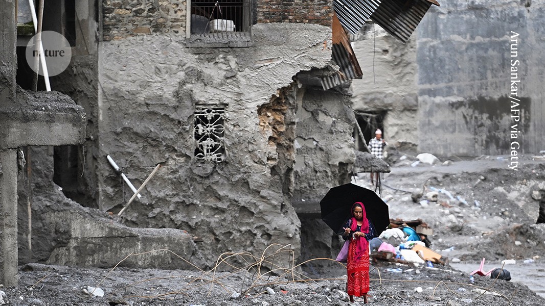
A high-altitude collapse of rock and ice on 26 August triggered a catastrophic flash flood near the Nepal-Tibet border that has so far claimed more than 1,000 lives, with more than 4,000 people still missing.
The precise sequence of events remains unclear: the disaster might have begun with a massive rockslide that dragged part of the glacier downhill, or the glacier might have failed first, causing rocks to destabilize into a landslide.
Shirzaei, a geophysicist at Virginia Tech, and colleagues analysed radar data from the European Space Agency's Sentinel-1 satellites acquired between 8 January and 18 August; the last observation was only seven days before the disaster.
The team detected evidence that the glacier-rock system was slowly moving downhill near the apparent collapse area, with velocities reaching roughly 10 millimetres per month.
Distinct publishers with included, body-backed reporting in this cluster.
1 article · September 1, 2026
Follow any of these and your For You feed starts watching them — no settings page required.
Evidence-backed comparisons of source perspectives and observed adoption signals. Read the methodology
Which Builder, Operator, and Investor concerns the observed source mix emphasized—not a truth score.
Evidence, demonstrated adoption, hype gap, incentives, and confidence are assessed independently, each on its own current evidence. How these are measured.
One interview, no data on the table
The creep rate, the acceleration, the observation window and the seven-day gap all come from a single geophysicist describing work he himself calls preliminary. No paper, no deformation map, no second team reading the same public radar stack, and the casualty figures arrive with no authority attached. Shirzaei's caveats are the most reliable thing in the record: he still has to rule out other explanations and will not say whether the rock or the ice went first.
Instruments where the hazard was already named
Two working systems appear here and neither does the thing being asked for. Cirenmaco watches a lake and streams data in real time; Khumbu has sensors, weather stations and sirens. Both are bolted to hazards already identified and mapped. The slope that failed had no ground instrument, and the radar screening that spotted its acceleration happened after the flood, in a research exercise on an archive anyone could have downloaded.
Hindsight the researcher won't claim
'Warning signs' invites a counterfactual Shirzaei declines within a few lines: acceleration alone, he says, would not have meant evacuate — at most the slope would have joined a watch list. Strip the framing and the finding is narrower and still interesting: a signal was sitting in free radar data that nobody was screening. The overstatement is small and it lives in the distance between Nature's headline and the sentence beginning 'These results are still preliminary'.
The gap named is the gap he would fill
Shirzaei diagnoses a missing capability that his own line of work supplies: regional satellite screening for accelerating slopes, plumbed into flood and avalanche models, is a research programme as much as a recommendation. That is not disqualifying — the radar is public and every hedge in the piece is his — but the ask sits directly downstream of an unchecked finding. Nature's incentive is plainer still: an expert explanation of a mass-casualty disaster, roughly a week after it happened.
Sure what was said, unsure that it holds
A first-person account from the person who ran the processing is strong evidence about what the analysis claims and weak evidence about whether it survives scrutiny. So we hold the monitoring gap and the shape of the finding with reasonable confidence, and treat the pre-collapse acceleration as unconfirmed. One independent pass over the same Sentinel-1 archive would move this figure sharply in either direction.