Science1 publisher3 min readPublished
Hourly winds from one Antarctic radar sharpened forecasts of seven Southern Hemisphere atmospheric rivers
Japanese researchers found hourly winds from Antarctica's PANSY radar lowered forecast errors for all seven Southern Hemisphere atmospheric rivers tested. The test ran in a research system over one winter, so the gain for operational forecasts is still unknown.
The Scientist · Science desk
Drafted by a language model from the sources cited here and checked against its claim ledger before publication. How we use AISend a correction
What happened
- The team ran matched analyses and forecasts for the 2022 austral winter, with and without PANSY winds, on JAMSTEC's ALEDAS system on the Earth Simulator.
- Both runs already carried extra radiosonde launches from the YOPP-SH campaign and covered seven atmospheric river events over the Southern Hemisphere midlatitudes.
- Adding the radar winds improved the analysed wind speed, temperature and geopotential height over Antarctica and the Southern Ocean.
- Including or removing the PANSY data changed estimated atmospheric river moisture transport by more than 30 percent.
Compiled by The ScientistSomething wrong?How this is made
Why it matters
- capability Continuous radar lets forecasters add Antarctic wind data in the long gaps between the few balloon launches that cost and cold allow.
- decision Operational forecast centres now have grounds to trial PANSY winds, and each would have to run its own test to learn how large the gain is in its system.
- constraint Seven events at one station cannot size the return on a network of polar radars, so any funding case built on this study has to extrapolate.
The 30 percent figure needs a careful reading. According to the phys.org account of the study, it is the difference in atmospheric river moisture transport between analyses made with and without the PANSY winds [10]. The number describes how far one radar moves the model's picture of the atmosphere. It is not a 30 percent cut in forecast error. For forecast skill the account gives only the direction: runs using the radar had lower errors than runs on conventional observations alone in all seven cases [11]. The account does not give the size of those reductions.
Seven of seven is a clean result on a small denominator. If each case were a coin flip between better and worse, seven straight wins would turn up about once in 128 tries [1]. All seven events fell in the 2022 austral winter [7]. Weather systems in one season are not fully independent draws, so those odds overstate the confidence somewhat.
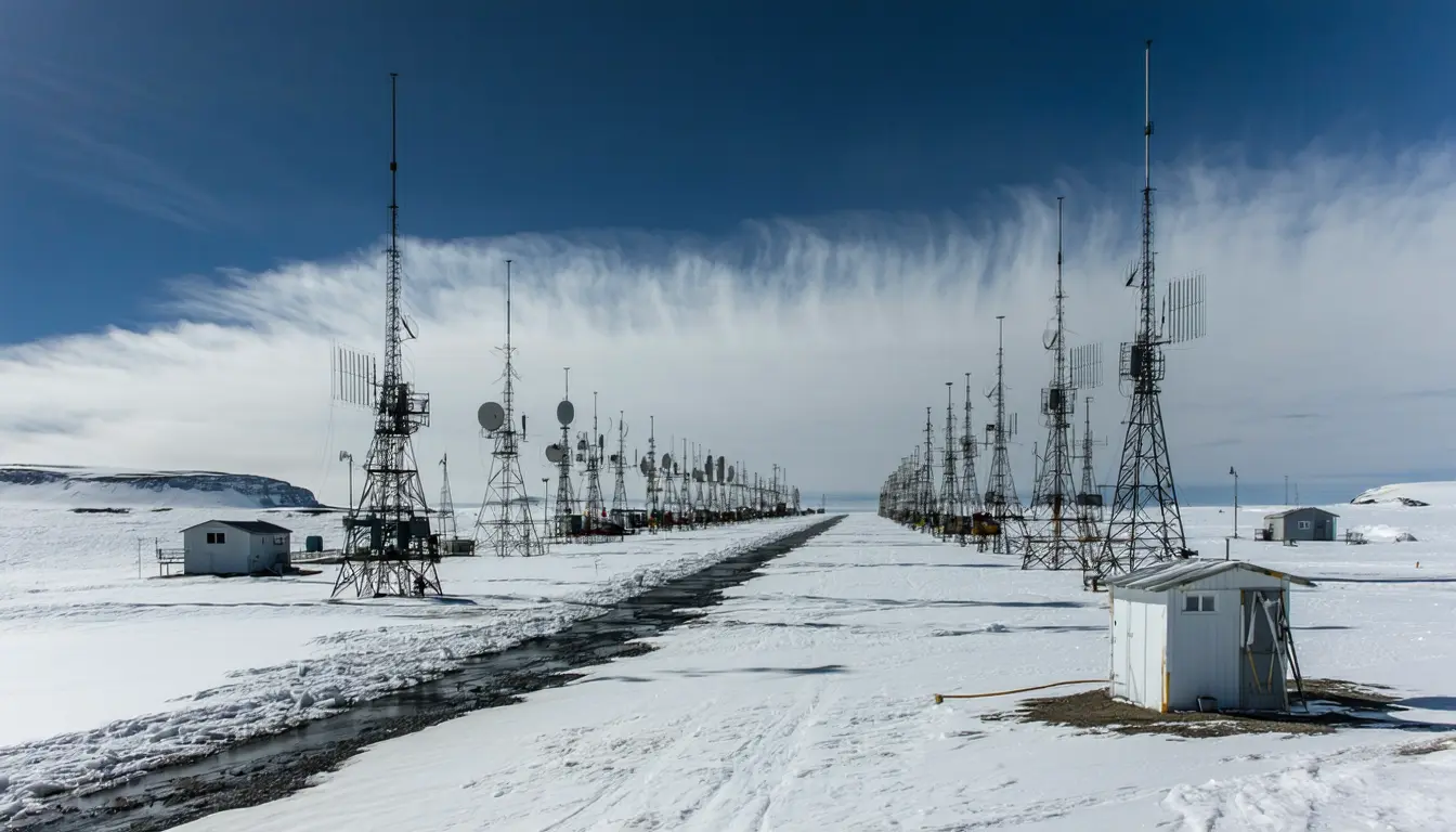
The control is the part I like. The extra radiosonde launches from the YOPP-SH campaign went into both runs [8], so the radar had to show value on top of an unusually well-observed winter. Balloons cannot be launched often in Antarctica for financial and operational reasons, while PANSY, at Japan's Syowa Station, measures winds continuously [6]. "Although radiosonde observations are routinely performed to improve weather forecasts, high-frequency launches are challenging in extremely cold environments," said Jun Inoue, a co-author at the National Institute of Polar Research [12][4]. Neither run tested the radar against the routine network of an ordinary year [8].
The experiments ran on ALEDAS, a system JAMSTEC developed and runs on its Earth Simulator supercomputer [7]. "Observations from the Antarctic radar are not currently incorporated into operational numerical weather prediction systems," said Kazutoshi Sato, the lead author [5][3]. A gain measured in one research system has to be measured again inside each operational one before anyone can quote it.
The account blames the Southern Hemisphere's weaker forecasts on the scarcity of observations over Antarctica and the Southern Ocean [1]. It also says errors in Antarctic conditions spread far beyond the continent [13]. This experiment fits that explanation, because one added data stream from Antarctica improved forecasts over the midlatitudes [11]. It does not weigh sparse observations against other sources of forecast error, so it cannot show that sparse data is the main cause.
On funding, the account says the study highlights the importance of stronger observation in data-sparse regions [13]. A funding case would need the cost of running such radars, plus more than one station and one winter to estimate the return. In my view the evidence justifies an operational trial of PANSY's winds. It is not yet enough to size the return on a network of polar radars.
What to watch
- Whether any operational forecasting centre begins assimilating PANSY winds, and what error reduction it reports.
- A repeat over more winters, or against routine radiosonde coverage only, to test whether the seven-of-seven result holds.
- Published costs for continuous Antarctic radar compared with more frequent radiosonde launches.