Science1 publisher3 min readPublished
Projected shorebird losses ran worse than habitat loss alone in eight of nine studies
The first global systematic review of sea-level rise and shorebirds pools 37 studies across 29 species. Its authors say the dikes and roads behind a wetland set how much habitat survives the water.
The Scientist · Science desk
What happened
- A review in Biodiversity and Conservation, which its authors call the first global systematic review of its kind, examined sea-level rise impacts on 29 shorebird species including plovers, sandpipers and oystercatchers.
- The University of British Columbia team pooled 37 studies with data on shorebirds, reporting that 78 percent found negative habitat impacts and 89 percent negative impacts on populations or individual birds.
- The review concluded that rising seas will predominantly harm shorebird habitat and populations, and that human infrastructure could worsen it by stopping coastal wetlands from moving inland.
Compiled by The ScientistSomething wrong?How this is made
Why it matters
- decision Whether a marsh has anywhere to go is decided by dike alignments and zoning inland of the wetland, so the choice sits with planners in this cycle for water that arrives decades later.
- constraint A vote count of published studies gives the direction of the effect without its size, so an engineer choosing a setback distance for a specific estuary still needs a site model to get hectares.
- exposure Because a few stopovers carry so much of a flyway, damage at one bottleneck such as the Fraser River Estuary reaches birds that breed and winter thousands of kilometers away.
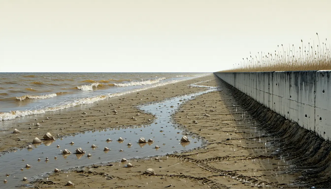
Marsh and tidal flat sit in a band set by tide height, and when the sea rises that band moves inland if there is unbuilt ground to move onto [4]. Where a dike, a road or a building fixes the landward edge, the band narrows against it and the habitat is held against a shoreline that no longer moves [4].
"As sea levels rise, coastal wetlands need space to retreat, but many of the places where shorebirds depend on these habitats are already constrained by dikes, roads and other development," said Jennifer Magel, the review's lead author and a PhD student at the University of British Columbia's Faculty of Forestry and Environmental Stewardship [6]. Co-author Tara Martin, a professor in the same faculty, said: "As we shore up our shorelines to protect human infrastructure, we're decreasing the available habitat for all the animals that use this intertidal zone" [7].
The review's counts do not apportion the loss between the water and the barriers. It is a systematic review, so its numbers tally how many papers reported harm [2]. The release does not break out the counts per figure, so start from the full set: 78 percent is about 29 studies and 89 percent about 33 [14]; two subsets that size drawn from 37 papers would have to overlap by at least 25, and the review reports only nine studies that examined both habitat and population impacts [15]. The two percentages therefore rest on different subsets of the 37 papers [15].
That nine-study subset is where the review carries information beyond direction: in eight of the nine, projected population impacts were worse than habitat loss alone would predict [5]. Area is a poor proxy for carrying capacity. Rising water shortens the window in which tidal flats are exposed for feeding, and shifts in sediment, salinity and water depth change what prey is available; for nesting birds, higher water raises the risk of nests flooding [8].
Shorebirds may cover hundreds to tens of thousands of kilometers on migration, and in British Columbia the Fraser River Estuary is a bottleneck where large numbers converge in a relatively small area to refuel along the Pacific Flyway [9]. "If one of these important stopover sites is affected, it can have consequences for an entire population of birds because so many of them rely on these bottleneck sites," said Magel [10].
Most of the projections in the reviewed literature run toward the end of the century, and the authors argue that coastal adaptation decisions have to be made now [11]. They ask planners to protect space inland of existing wetlands, remove or alter artificial barriers, enhance sediment supplies and consider managed retreat where it fits [12]. They point to the Sturgeon Bank Sediment Enhancement Pilot Project in the Fraser River Estuary, which is testing whether added sediment can build wetland elevation [13].
What to watch
- Results from the Sturgeon Bank Sediment Enhancement Pilot Project on whether added sediment raises marsh elevation fast enough to keep pace with the water.
- Whether coastal jurisdictions reserve unbuilt land inland of existing wetlands when they next upgrade dikes, or upgrade the dikes on the current alignment.
- New studies that model habitat and bird populations together, since only nine in this review did both.