Science1 distinct publisher3 min readPublished
In three days the FALCON payload refined orbits for more than 200 objects with no help from the ground, working against a 20,000-object catalog. The harder question is where the landmarks come from past Earth orbit.
The Scientist · Science desk

Compiled by The ScientistSomething wrong?How this is made
A star tracker is a camera that already flies on most spacecraft. It was built to recognise patterns of stars and report which way the bus is pointing [4]. FALCON asks the same sensor to pick out the points that move against that background, match them to catalogued satellites and debris, and then run the geometry backwards: if you know where those objects are, their apparent positions tell you where you are [5]. The hardware bill for that is close to zero, because the camera was already on board. What NASA and EraDrive added was software, an embedded pipeline the Stanford spinout calls Era-Core, plus an onboard catalog [3].
The arithmetic of the three-day run is worth sitting with. Controllers uploaded predicted orbits for roughly 20,000 objects [6]; the payload came back with improvements on more than 200 of them [7], which is about one percent of what it was carrying [16], and an average above 66 objects a day [17]. That is not a complaint. It is the shape of the measurement: FALCON refined the objects that happened to cross its field of view during 72 hours, not the catalog as a whole.
The number NASA's account does not supply is the one an operator would ask for first. The estimates are described as more precise than the existing catalog entries [8], and better than the position predictions the ground uplinked [10], but no magnitude and no units are attached [18]. A conjunction decision is made on covariance, not on the direction of an improvement. Until there is a metres figure, and one that separates a bright cooperative satellite from a tumbling fragment, this is a demonstrated capability rather than a usable input to collision avoidance.
Then there is the extrapolation to the Moon. GPS is weak or absent out there, which is the whole motivation [11], and FALCON is being read as the answer. But the landmarks in this experiment were other people's hardware and other people's junk, identified against a public catalog maintained by the U.S. Department of War [5]. Cislunar space has neither the population nor the survey. Read NASA's own framing closely and it points at future networks of satellites operating without GPS, and coordinated systems supporting activity on the Moon or Mars [13]: a swarm using its own members as references. That is a related problem, and a harder one, because the landmarks have to be launched before they can be sighted.
Where this lands soonest is the traffic problem it was tested inside. Roger Hunter, who manages NASA's Small Spacecraft and Distributed Systems program at Ames, put space-traffic monitoring and collision avoidance ahead of alternative navigation in his own list of implications [12]. The demonstration sits in low Earth orbit, and so does the crowd it needs.
Ranked by verification strength, evidence, and original report placement.
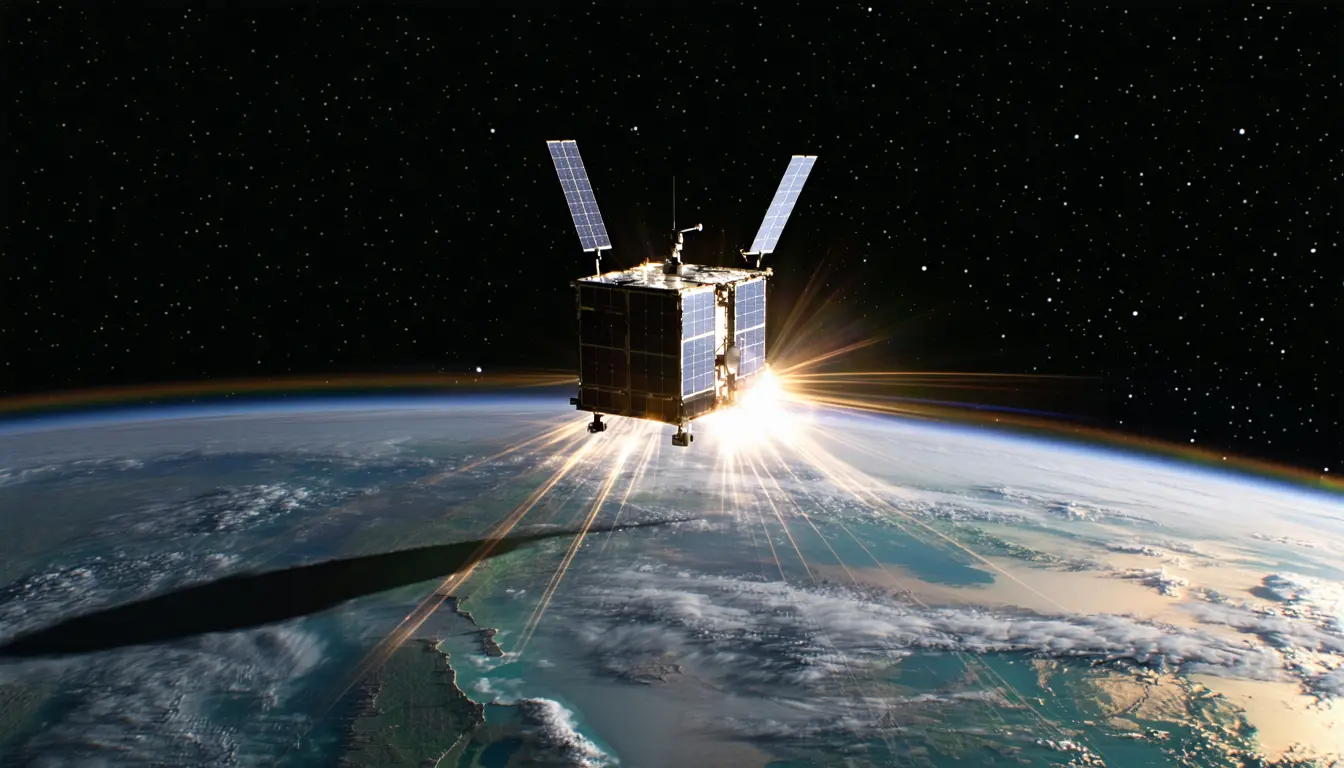
NASA's Starling mission demonstrated a system that can determine a satellite's orbital position using other objects in space as reference points rather than depending on an external navigation network.
The technology is called FALCON, for Fast Autonomous Lost-in-space Catalog-based Optical Navigation.
The FALCON payload is a joint flight experiment developed by NASA and EraDrive, a startup that emerged from Stanford University, combining EraDrive's Era-Core flight software and embedded algorithms with Starling's cameras and an onboard catalog of known satellites.
The demonstration used Starling's onboard star tracker cameras, standard spacecraft instruments that detect bright objects in space and help determine a spacecraft's orientation and position.
FALCON identified objects seen by Starling's cameras, including other spacecraft and orbital debris, compared them with a publicly available catalog of known space objects maintained by the U.S. Department of War, and once the objects were identified and verified used them as reference points to calculate Starling's orbit.
Mission controllers loaded a catalog containing approximately 20,000 space objects and their predicted orbits onto Starling.
Follow any of these and your For You feed starts watching them — no settings page required.
Evidence-backed comparisons of source perspectives and observed adoption signals. Read the methodology
Which Builder, Operator, and Investor concerns the observed source mix emphasized—not a truth score.
Evidence, demonstrated adoption, hype gap, incentives, and confidence are assessed independently, each on its own current evidence. How these are measured.
One institutional account of a real on-orbit run, with no numbers behind the key result
The cluster rests on a single NASA-sourced release relayed by one publisher. It is specific about what was flown and counted - star tracker cameras, a ~20,000-object catalog, more than 200 orbits refined in three days with no ground intervention - which is more than a concept announcement. But the central quality claim (more precise than catalog and ground predictions) carries no magnitude, units, or error bars, the 'first' assertion is self-reported with no criteria, and there is no independent verification, peer review, or outside comment.
Flight-validated on one demonstration mission; commercialization only asserted
Adoption is real but narrow: the payload actually flew and ran autonomously on Starling, which is stronger than a lab result, and NASA states EraDrive is commercializing Era-Core. Against that, there is exactly one host mission, no named external operator or customer, the refined objects are about one percent of the uploaded catalog, and the multi-spacecraft extension is a scheduled plan rather than an achieved deployment.
Mildly overstated: real result, promissory framing
The measured core is solid and modest; the framing around it reaches further than the supplied evidence. A 'first' with no stated criteria, 'far-reaching implications' for space-traffic monitoring and collision avoidance, and relevance to lunar and Mars operations are asserted while the demonstration ran in the one regime that is dense with catalogued objects, and while the precision advantage is never quantified. Positive but small, because the underlying event did happen and is described in checkable detail.
Sole account is the sponsoring agency's, with a commercializing partner
Every fact here originates with the parties who benefit from it: the NASA program that funds and manages Starling, whose quoted manager emphasizes that 'the number of firsts from Starling just keeps growing', and EraDrive, the Stanford spinout actively commercializing the software that flew. The publisher relays the release rather than testing it, so no counter-incentive is present in the cluster.
Moderate: what happened is clear, how well it worked is not
Confidence is limited by structure rather than contradiction: a single publisher, a single institutional source, and no dissenting or corroborating account. The descriptive facts - payload, instruments, catalog size, object count, duration, autonomy - are internally consistent and unlikely to be wrong. The performance and priority claims cannot be checked from the supplied material, and the forecast claims are untested, so mid-range confidence is appropriate.
product
Starling navigated without GPS using the cameras it already had1 distinct publisher
science
NASA's COFFIES model flags solar active regions before they surface, averaging 9.24 hours2 distinct publishers
science
Roman's faint-end science is riding on a stray-light model built at Ames1 distinct publisher
product
A five-watt nuclear heater on Blue Ghost turns lunar night into a procurement problem1 distinct publisher
Distinct publishers with included, body-backed reporting in this cluster.
1 article · August 26, 2026