Science1 publisher3 min readPublished
Four-year map finds 6% of lower-48 river length both healthy and protected
Researchers reporting in PLOS One found only 6% of stream length in the lower 48 both healthy and meaningfully protected. Their map is meant to show where conservation money would do the most good as the climate warms.
The Scientist · Science desk
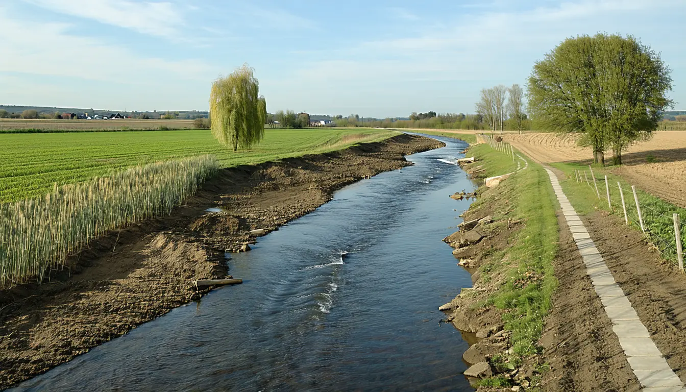
What happened
- The assessment took four years and rated each small watershed on river connectivity, floodplain and water quality, water quantity, and how far its flows have been altered.
- Stretches scoring well on all four measures were classed resilient; near-average stretches were classed restorable, meaning one intervention could clear what holds them back.
- The healthiest rivers cluster on the Pacific Coast, in the northern Rockies and across the Southeast, while the Southwest deserts, Great Plains and southern New England fare worst.
- Dams leave the clearest mark, cutting the country's rivers into more than 9,000 separate pieces, and the study maps where reconnecting them would pay off most.
Compiled by The ScientistSomething wrong?How this is made
Why it matters
- exposure The healthy but unguarded 13% has nothing holding it in condition, so it is the river length the country is likeliest to lose next.
- decision A funder can now choose, watershed by watershed, between paying to keep a resilient river as it is and paying for the one fix that would bring a restorable river up.
- constraint Protection bought along one stretch holds only if the land upstream holds, since a preserve on a kilometer of stream can take water draining 100 kilometers of farms, dams and subdivisions.
Add the two healthy groups together and about 19% of the country's stream length is in good condition [1]. Only about a third of that, 6 points of the 19, is meaningfully protected [2]. The other 13% is in good shape with no real safeguards [3]. On land, the healthiest places tend to be the protected ones. For rivers, the study found, health says almost nothing about whether anyone is looking after it [12].
The grades start from habitat and flow [5]. Each watershed's four scores were laid over 91 existing assessments of where freshwater life is concentrated, and that overlay is where the biology comes in [6]. Dozens of scientists and partners from 44 states then adjusted the measures for regions as different as the humid East, the arid Great Plains and the Southwest deserts [7]. The result is a grade of each river's ability to sustain aquatic life in a warming climate [8].
The denominators need care. The assessment graded every river and stream in the lower 48 [8], and it maps one-third of the nation's stream distances [9]. More than half of that mapped length came out resilient [10]. The 6% and 13% figures are shares of the country's stream distances as a whole [1][3].
Mary Khoury, a freshwater ecologist at The Nature Conservancy, stated the goal directly. "We can now point at a map for the first time and say, these are the rivers most capable of sustaining diversity of aquatic life, and this is what each one needs," she said [4]. For the restorable group, the study's examples of what a river needs are fixes for runoff from a farm or an obstructing dam [11]. More than 150,000 dams have fragmented the country's waterways, cutting fish off from spawning grounds and cold-water refuges [15].
The thing this doesn't tell a funder is what any repair costs. The map orders rivers by what they could support. Someone weighing a dam removal against a runoff project still has to bring the prices.
The resilient network already includes long, unbroken stretches [16]. The Klamath River in Oregon and California lost its lower dams in the largest removal project in U.S. history, and the Delaware runs free of barriers along its main stem from New York's Catskill Mountains to the sea [16]. "A resilient system is one that gives species options and environments in which to adapt," Khoury said [17].
Rafael Schmitt, a hydrologist at the University of California, Santa Barbara who was not involved in the work, suggested pairing the map with regulatory dates. "I can see this being overlaid in the future, for example, with where dam licenses will expire, in order to find the most effective restoration opportunities," he said [18].
What to watch
- Repeat fish and mussel surveys on stretches graded resilient: they would test whether the grades predict where species hold on as waters warm.
- Whether agencies or funders overlay the map with dam license expiration dates, as Schmitt proposed, and attach cost estimates to restorable stretches.
- New safeguards, or measured declines, on the 13% of stream length that is healthy but unprotected.