Science1 publisher3 min readPublished
A Utah report prices Great Salt Lake dust at $115.79 million a year at 4,192 feet
A report commissioned by Utah's Division of Water Resources totals dust health damages at three lake elevations. It also narrows the actively emitting lakebed to about 70 square miles of the more than 800 now exposed.
The Scientist · Science desk
What happened
- Kevin Perry's mapping puts active dust hotspots at roughly 70 square miles, an area that could reach 187 square miles if protective surface crusts degrade or groundwater levels decline.
- At an elevation of 4,192 feet, the report associates lake dust with $115.79 million in annual health costs, about 6.24 premature deaths, 17,052 work-loss days and nearly 17,748 school absences a year.
- Cumulative health costs through 2060 come to $5.79 billion under current conditions, $3.71 billion at the minimum healthy elevation and $1.89 billion at the historical average.
Compiled by The ScientistSomething wrong?How this is made
Why it matters
- decision The sequencing the authors recommend puts the near-term money into monitoring and source attribution, so capital works get authorized only where dust is shown to reach people.
- constraint Because engineered suppression is water-intensive, spraying or flooding the lakebed draws on the same supply that would otherwise raise the lake.
- exposure A priority list built from modeled exposure sends protection to Tooele County first, and monitoring is what could revise that ordering.
Across the report's three elevation scenarios, damages fall faster per foot at the higher elevations. From the low-lake case at 4,183 feet up to 4,192 feet, annual health damages fall from $133.67 million to $115.79 million [8][7]: $17.88 million across nine feet, about $1.99 million a foot [3]. The next six feet, up to the minimum healthy elevation of 4,198 feet, take damages down another $42.40 million, about $7.07 million a foot [9][4]. Per foot, the top of that range is worth roughly three and a half times the bottom [5]. The report models three points, and each scenario is stated as a lake elevation, not as a volume of water delivered.
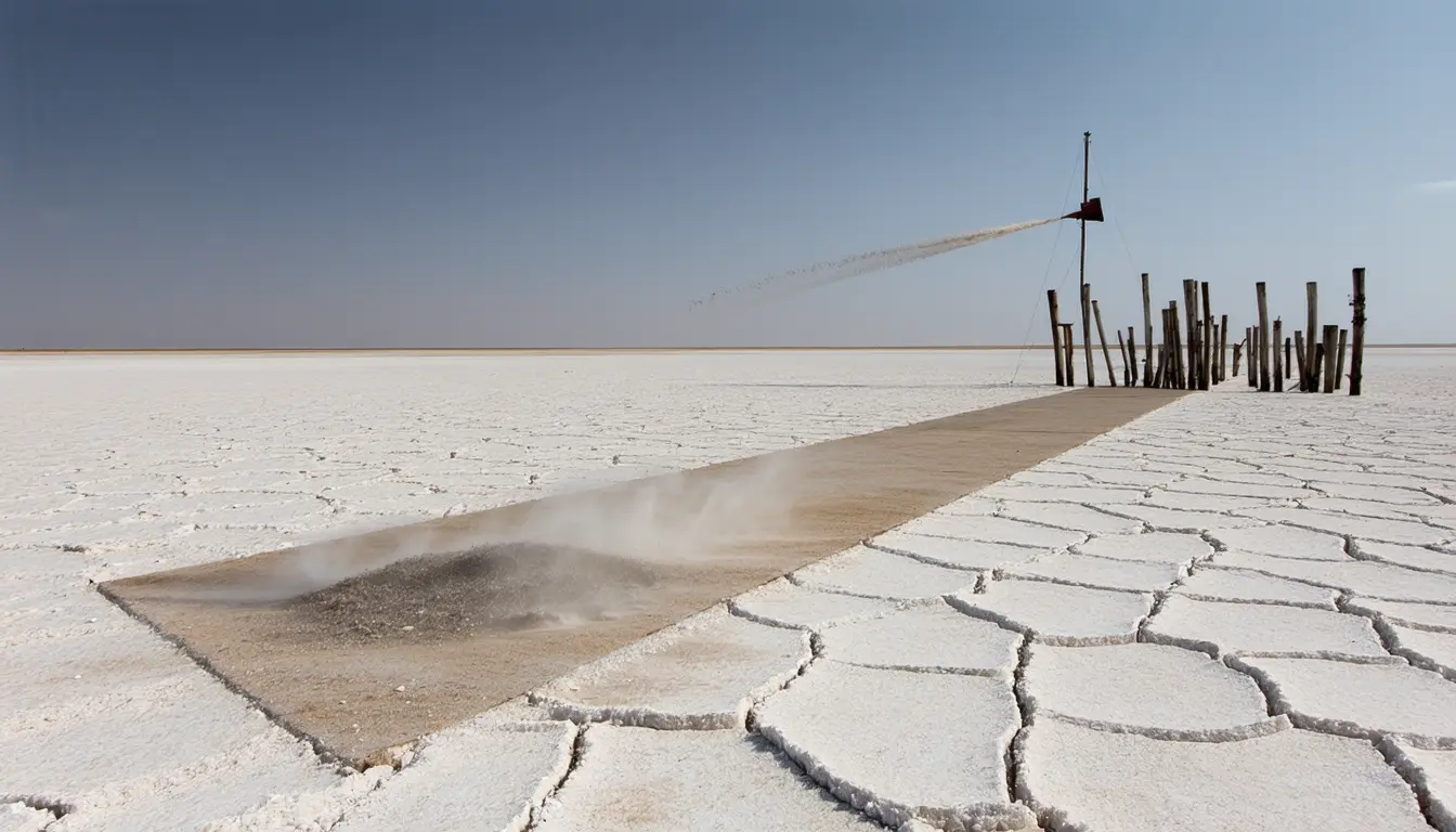
Only part of the exposed lakebed emits. More than 800 square miles have been exposed to potential wind erosion as the lake fell [4], and about 70 square miles of that are active dust hotspots [5], under 9% of the exposed ground [1]. The report separates exposed lakebed from ground that is actively generating dust reaching populated areas, and recommends sustained monitoring and source attribution before the state commits to large-scale engineered controls [6]. "That means using better data to identify the highest-risk areas, protecting communities that face the greatest exposure, stabilizing the lake wherever we can, and reserving engineered controls for places where the evidence shows they are necessary," said Kevin Perry, the University of Utah atmospheric sciences professor who led the work [11][18]. If protective surface crusts keep degrading or groundwater levels decline, the hotspot area could reach 187 square miles [5]. That is about 2.7 times the area emitting now [2].
The engineered options evaluated include precision surface wetting, flooding, dynamic water management, brine caps and managed vegetation [14]. The report calls such controls possible but potentially expensive and water-intensive [14]. The account published by phys.org does not include their costs. Both suppression and stabilization spend water, one on the lakebed and one in the lake. "As we finalize the Basin Integrated Plan, these findings will shape long-term water management recommendations and emphasize the point that delivering water to the lake is the single most cost-effective way to suppress dust and prevent billions in taxpayer-funded mitigation," said Laura Vernon, Great Salt Lake Basin Planner at the Utah Division of Water Resources [13][19].
Exposure in the analysis is modeled, built from an emission inventory and modeled wind fields. Tooele County residents have the highest average modeled exposure, followed by Salt Lake County [15]. The analysis also finds higher modeled exposure among several racial and ethnic groups, foreign-born residents, non-citizens, people with lower educational attainment and people without health insurance [16].
Utah faces costs whether it acts or not, the report says, and choices made now move the future ones [17]. Through 2060 it puts cumulative health costs at $5.79 billion under current conditions, $3.71 billion with the lake restored to and held at the minimum healthy elevation, and $1.89 billion at the historical average [10]. The gap between the first two is $2.08 billion of avoided health damage [6]. Those totals are not the annual figures run out to 2060: $5.79 billion is 50 times $115.79 million a year, and $3.71 billion is about 50 times $73.39 million [7].
What to watch
- Whether the full report's cost tables put dollar figures per square mile on precision wetting, flooding, brine caps and managed vegetation.
- Whether the Great Salt Lake Basin Integrated Plan funds monitoring and source attribution before any engineered control is authorized.
- Whether measured crust condition and groundwater levels move the hotspot estimate from about 70 square miles toward 187.