Science1 publisher2 min readPublished
Hurricane Hunter radar shows four features about a day before a tilted storm straightens up
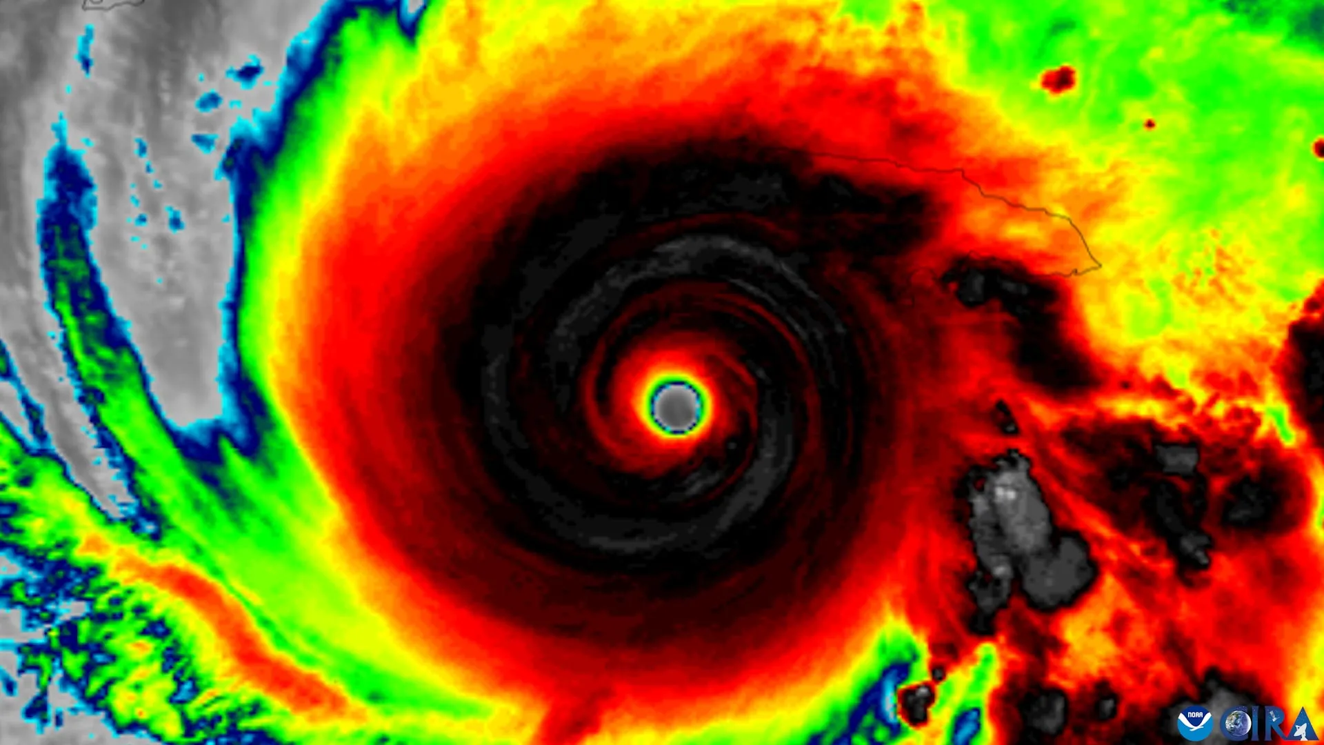
A University of Miami team compared cyclones that later came into vertical alignment with ones that stayed tilted across 1,510 Hurricane Hunter radar analyses from 1997 through 2024, and the aligning storms already looked different a day out.
The Scientist · Science desk
What happened
- Scientists at the University of Miami Rosenstiel School, with colleagues at NOAA's Atlantic Oceanographic and Meteorological Laboratory, identified four features that appear to help a tilted tropical cyclone become vertically aligned.
- The four are a compact circulation near the ocean surface, a tilt oriented favorably against the vertical wind shear, stronger ascent and heavier rain near the low-level center, and a warm, moist environment with weak mid-level winds.
- The work drew on TC-RADAR, a database built by lead author Michael Fischer and colleagues that holds 1,510 radar analyses flown by NOAA Hurricane Hunter aircraft over 28 seasons from 1997 through 2024.
- Alignment is the precondition under study: a cyclone's rotating centers at different heights generally have to line up before the storm can grow much stronger.
Compiled by The ScientistSomething wrong?How this is made
Why it matters
- capability The four features are quantities an aircraft pass can record while a storm still looks disorganized, so a crew has something specific to measure before the organization becomes obvious.
- constraint An indicator built from aircraft radar exists only for cyclones a plane actually flies, so it does not apply to storms outside flight coverage.
- decision The Rosenstiel School announcement does not give a hit or false-alarm rate, and none has been published, so a forecast office has to judge how much weight to put on a roughly one-day signal without one.
Michael S. Fischer's group sorted the aircraft archive into cyclones that eventually became vertically aligned and cyclones that stayed tilted, then asked what the two groups looked like beforehand [10]. Fischer is the lead author and an assistant professor in the Department of Atmospheric Sciences at the Rosenstiel School [14]. Tilt has a specific meaning here: the separation between a storm's circulation centers at lower and middle altitudes [9]. Strong winds aloft open that gap. "Strong winds higher in the atmosphere can push the top of a storm's circulation away from the center near the ocean surface. Until those centers come back together, the storm usually cannot intensify substantially," Fischer said [5].
"The storms that aligned already looked different about a day beforehand," Fischer said [6]. He described them as having "stronger, more tightly wound circulations near the surface and more widespread, vigorous thunderstorms lifting air near that center" [7].
TC-RADAR holds 1,510 radar analyses across 28 seasons, which averages about 54 a season [3][15]. The unit counted is an analysis, not a storm, and the denominator a forecaster cares about is storms. Every one of those analyses came from a NOAA Hurricane Hunter flight [3].
Fischer is careful about what the pattern shows. "Our findings suggest those thunderstorms are not simply a sign of organization. They may also help pull the storm's leaning circulation upright," he said [8]. A difference measured a day before alignment is consistent with both readings: convection doing the lifting, or convection marking a low-level circulation that was already tightening for other reasons. The Rosenstiel School announcement says alignment depends on several factors working together, including the storm's internal structure, the direction of surrounding winds, and conditions in the surrounding environment [11].
Each of the four is stated as a comparison: more compact near the surface, stronger ascent and heavier rain near the lower-level center, weaker winds in the middle levels [2]. Using them on a flight would require threshold values.
The chain also has two steps. The features precede alignment, and alignment is what makes a cyclone capable of intensifying [1]; storms generally need to be vertically organized before they can grow much stronger [12]. Rapid intensification gives coastal communities and emergency managers very little time to respond, and the Rosenstiel School frames the payoff of earlier recognition as additional time for evacuation decisions and other preparations [13].
What to watch
- The peer-reviewed paper's hit and false-alarm rates for the four features, and how many distinct storms the 1,510 analyses cover.
- Whether NOAA forecast guidance starts using the four features as a rapid-intensification indicator.
- Whether the same pre-alignment signal can be detected without aircraft, for cyclones no plane reaches.