Science1 publisher2 min readPublished
Satellite uplinks would replace the twice-yearly drive to collect western NSW forest data
Researchers at Western Sydney University and UNSW are fitting thousands of solar-powered ecological sensors with low Earth orbit radios, so measurements from remote plots arrive continuously instead of on a field trip.
The Scientist · Science desk
What happened
- A research team is upgrading thousands of existing solar-powered ecological sensors so they can send their readings in near real time through satellites in low Earth orbit.
- At present many of those remote sensors have no way to transmit at all, so their data is walked out by hand and often reaches researchers only a couple of times a year.
- The plot network being extended runs from the rainforests of the Greater Blue Mountains World Heritage Area to the arid woodlands of the far west of New South Wales.
- Western Sydney University and UNSW researchers are running the work with satellite communications company OQ Technology, supported by the NSW Smart Sensing Network.
- The authors say Australia has world-class research sites but no coherent long-term national network capable of tracking forest health across the continent.
Compiled by The ScientistSomething wrong?How this is made
Why it matters
- capability The weeks immediately after a drought, heat wave or fire become observable while they are happening, which is the period the authors say matters most and the one a manual download can only describe long afterwards.
- constraint This is an upgrade to telemetry, not to coverage. The radios go on plots that already exist, so continental estimates of carbon stock or drought vulnerability still depend on how many plots there are and how well they represent the continent.
- decision Once graziers, land managers, conservation groups and carbon projects are receiving early warnings, the network has users who need the link maintained year-round, and someone has to decide who pays for that uptime after the demonstration ends.
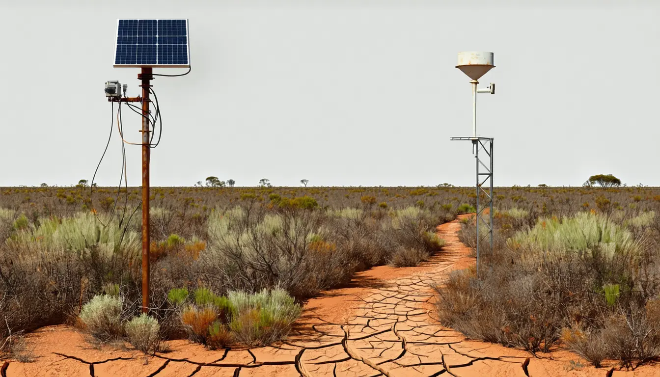
A logger in the far west of New South Wales already samples soil moisture, microclimate, tree growth and plant water stress continuously [6]. Getting the numbers off it is the hard part. In many of these locations there is no practical way to transmit data, so it has to be fetched by hand, and in practice that happens about twice a year [7]. The sites are a long way from towns, roads and telecommunications infrastructure [8]. Two visits a year puts roughly six months between downloads, which means a heat wave in November can go unread until the following autumn [9].
The satellites in this design are radios. The authors say they are using the communication abilities of low Earth orbit spacecraft so sensors can report from regions with no mobile phone coverage [10]. Satellite communication itself has existed for decades [18]. The newer part is that low Earth orbit systems let small, low-power environmental sensors transmit more efficiently and at lower cost than before, according to the authors [12]. The article does not report per-sensor cost, data rates, plot counts, or what would count as a successful demonstration [19].
On imagery the authors are careful. Pictures from space are valuable for tracking logging or illegal roads, they write, and then: "But photos aren't enough. We still need to take measurements on the ground." [11] The ground measurements are the four the sensors already take [6].
Everything wider depends on the demonstration. The authors say that if the western New South Wales project works, it could be expanded across the state or the entire country [5]. The far west is a defensible place to try it, because sensors there sit in areas highly exposed to climate extremes [21]. The questions the authors want to reach are whether forests are becoming more vulnerable to drought, how quickly ecosystems recover after fire, and how much carbon forests and woodlands store [3].
What to watch
- Whether the western NSW sensors hold a continuous link through a summer that includes a fire or a heat wave.
- A funding decision that takes the network past the demonstration plots toward statewide coverage.
- Published per-sensor cost and data volumes for the OQ Technology link.